
-
 Here’s something that catches a lot of developers and engineers off guard: a beautifully detailed topographic survey, complete with LiDAR data and every visible feature mapped to millimetre accuracy, can still produce a deeply unreliable flood model. Not because the
 -
 Architects use topographic survey data as the baseline for site layout and building design. Civil and structural engineers rely on it for drainage modelling, earthworks calculations, and foundation design. Planning consultants need it to support applications and flood risk assessments.
 -
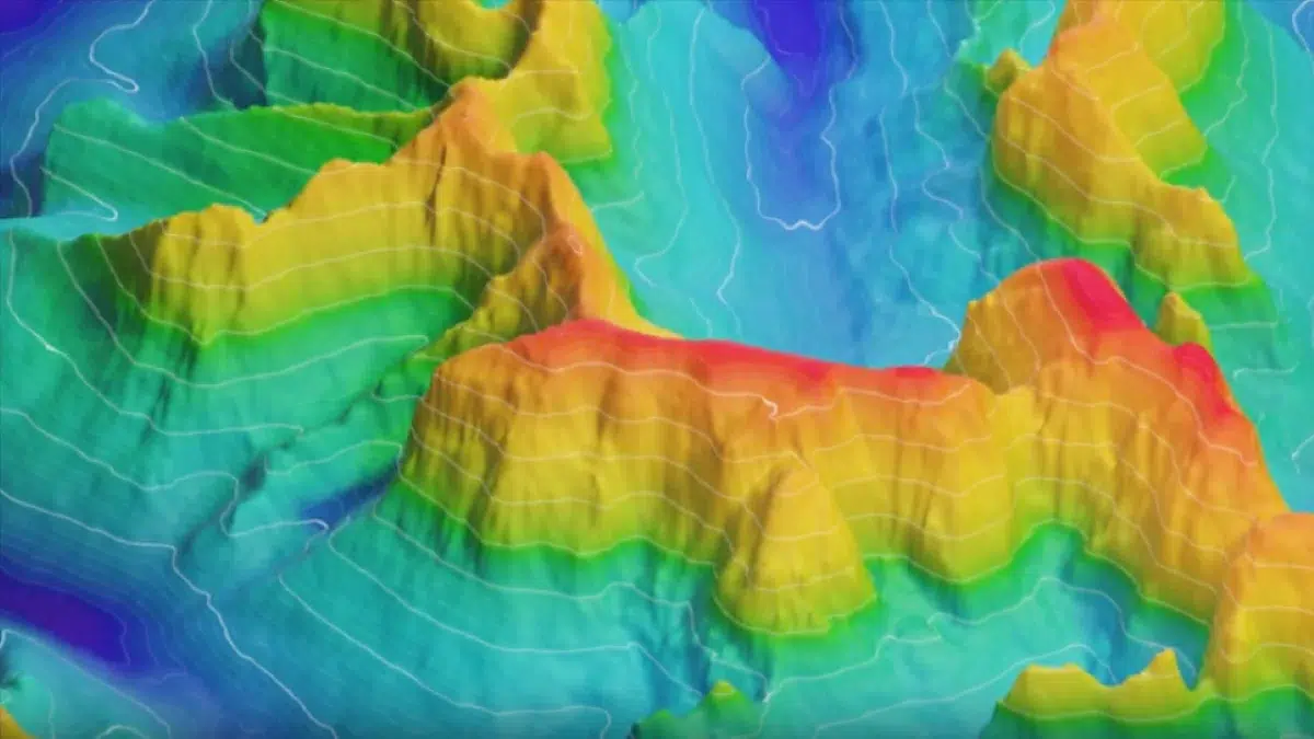 You’ve just been handed a topographic survey map. It’s a large-format CAD drawing, dense with lines, numbers, and symbols. and your architect is asking whether the drainage strategy works with the existing levels. Or your planning consultant needs to know
 -
 What Is a CAD Plan in the Context of UK Surveying? Defining CAD for Architecture and Geospatial Data At its simplest, a CAD plan is a digital drawing created using Computer‑Aided Design software, showing a building or site in 2D
 -
 When a project brief says “we need a survey of the whole corridor” or “we need a full site model as fast as possible”, the temptation is to pick one shiny technology and stick with it. In reality, drone mapping
 -
 The Foundation of Architectural Precision Moving Beyond “Assumed” Dimensions Measured elevation surveys give architects a reliable geometric foundation, rather than a best guess pieced together from old PDFs and tracing paper. They provide scaled representations of each façade, showing doors,