-
 You’ve just been handed a topographic survey map. It’s a large-format CAD drawing, dense with lines, numbers, and symbols. and your architect is asking whether the drainage strategy works with the existing levels. Or your planning consultant needs to know
 -
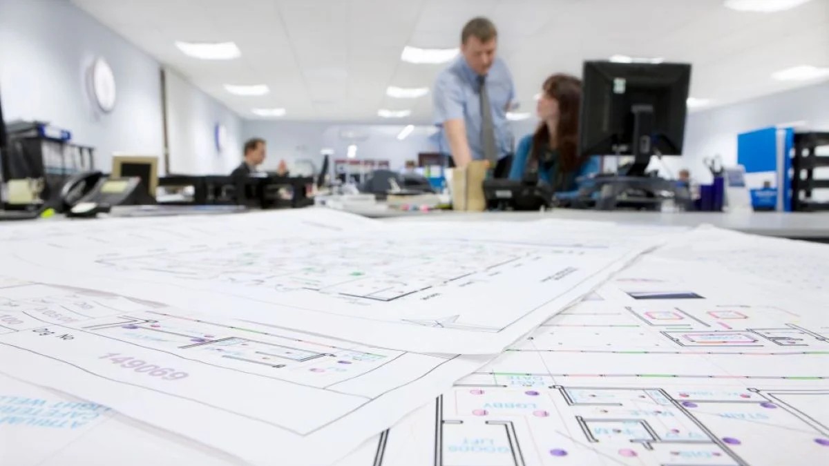 What Is a CAD Plan in the Context of UK Surveying? Defining CAD for Architecture and Geospatial Data At its simplest, a CAD plan is a digital drawing created using Computer‑Aided Design software, showing a building or site in 2D
 -
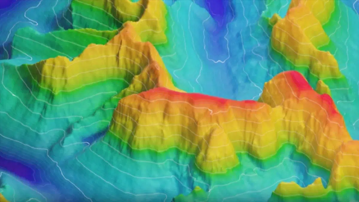
 When a project brief says “we need a survey of the whole corridor” or “we need a full site model as fast as possible”, the temptation is to pick one shiny technology and stick with it. In reality, drone mapping
 -
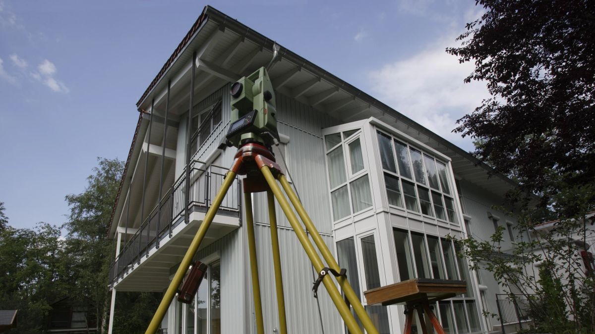
 The Foundation of Architectural Precision Moving Beyond “Assumed” Dimensions Measured elevation surveys give architects a reliable geometric foundation, rather than a best guess pieced together from old PDFs and tracing paper. They provide scaled representations of each façade, showing doors,
 -
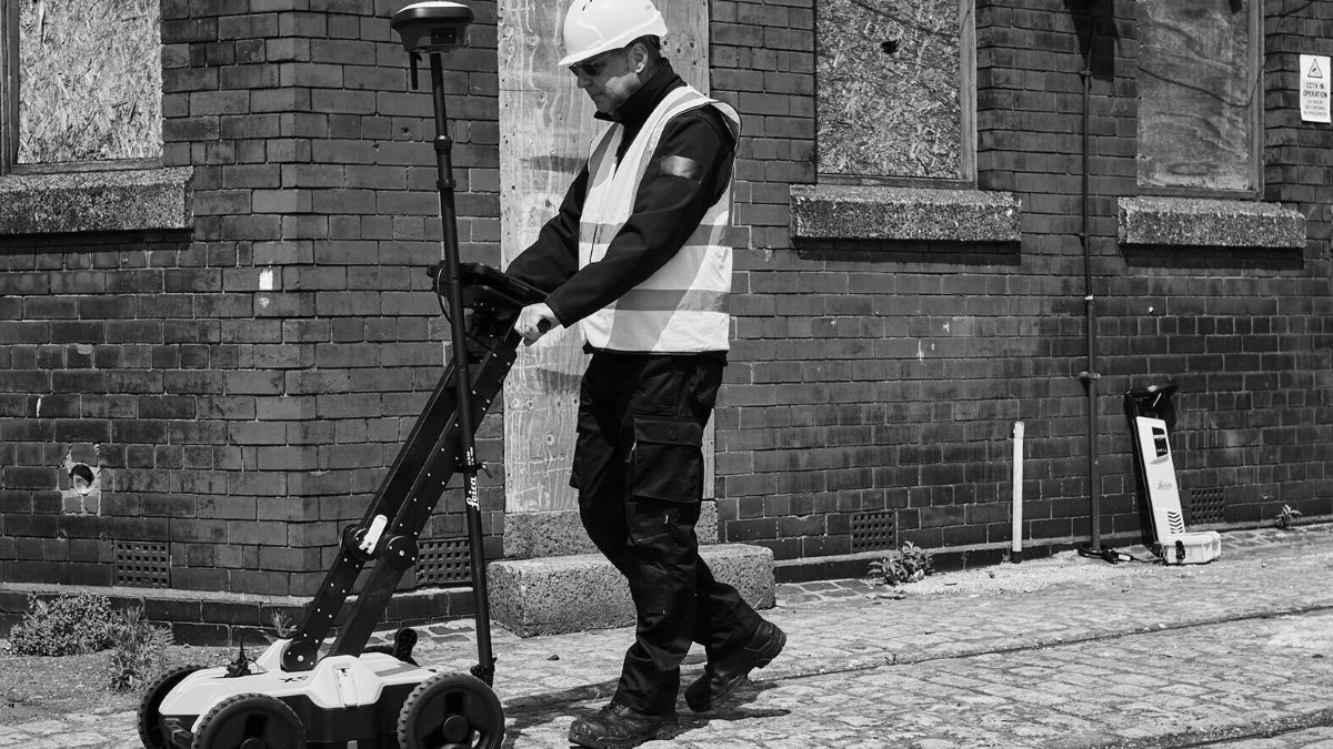 At a high level, both techniques are forms of non‑destructive testing of concrete. They allow you to “see” into a slab or wall without breaking it open, but they work in very different ways and produce different strengths of information.
 -
 You’re planning a new build or a major refurbishment. You know accurate site data is essential, but then a quote lands on your desk for a point cloud survey, and it’s noticeably higher than a traditional measured survey. It’s easy


