-
 You’ve probably been in that meeting. Someone says “we need BIM” with great confidence, everyone nods, and then… nobody quite unpacks what that actually means for the survey brief. It happens all the time. And on the flip side, plenty
 -
 Owning a listed building is, in many ways, a privilege. You’re the custodian of something the country has decided is worth protecting. But it comes with responsibilities that catch a surprising number of buyers and developers completely off guard, and
 -
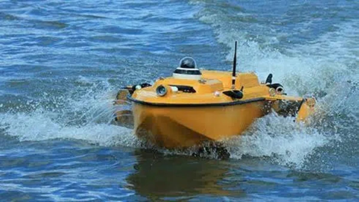 Side scan sonar is one of those bits of technology that sounds very specialist at first, but once you understand what it actually does, it is surprisingly intuitive and incredibly useful in real world projects. If you are responsible for
 -
 “We need a survey.” It’s one of the most common things said at the start of a project, and also one of the least specific. Which type? At what accuracy? Delivering what outputs? For which part of the site? It
 -
 Here’s something that catches a lot of developers and engineers off guard: a beautifully detailed topographic survey, complete with LiDAR data and every visible feature mapped to millimetre accuracy, can still produce a deeply unreliable flood model. Not because the
 -
 Architects use topographic survey data as the baseline for site layout and building design. Civil and structural engineers rely on it for drainage modelling, earthworks calculations, and foundation design. Planning consultants need it to support applications and flood risk assessments.


