-
 Hydrographic and bathymetric surveys measure water depth and map the seabed so ports can keep ADMIRALTY navigational charts accurate and meet the UKHO’s updated Harbour Master’s Guide to Hydrographic and Maritime Information Exchange (May 2025). High-resolution multibeam sonar data is
 -
 If you’ve ever stood on a busy construction site watching a team spend days marking out a complex floor plan by hand, you’ll know the problem. It’s slow, it’s prone to small errors that snowball into expensive redos, and it
 -
 Something big is happening in Scottish construction right now, and you’ve probably felt it. Data centres going up across the central belt. Renewable energy projects stretching into the Highlands. Regeneration schemes turning old industrial land into the infrastructure of the
 -
 If you run a port, you live with one awkward fact every single day. Almost everything that can hurt you, ground a vessel, blow a budget, or close a berth, is hidden below water where you can’t see it. The
 -
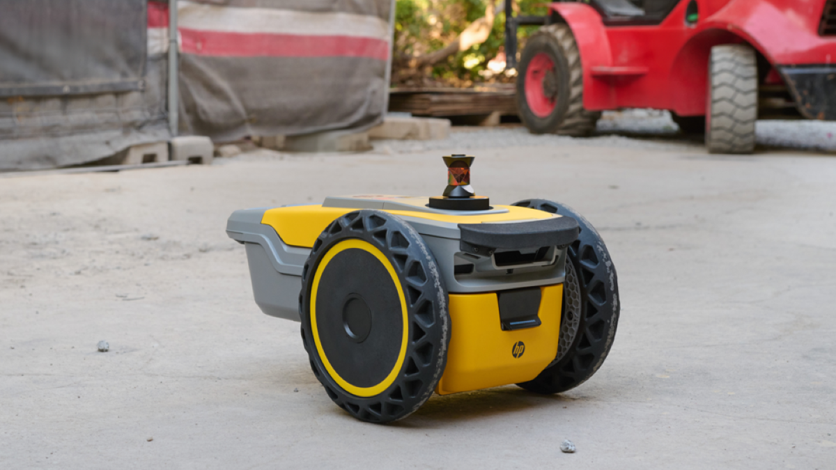
Robotic Layout Across Europe: How Castle Surveys Brings HP SitePrint to Your Project, Wherever It Is
Here’s a scenario you might recognise. You’ve got a major project on the Continent, a tight programme, and a layout so intricate that marking it out by hand would swallow days you simply don’t have. You need precision, you need -
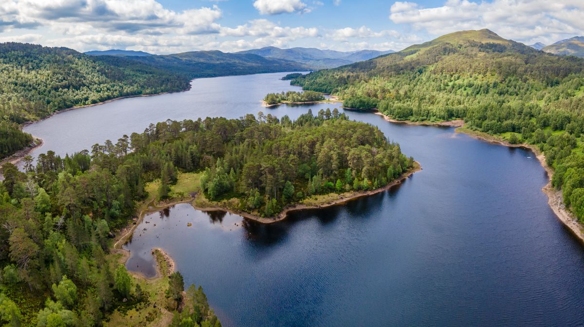 Hydrographic and bathymetric surveys measure water depth and map the bed of a reservoir or loch, producing accurate depth, area and capacity data along with 3D models of the underwater terrain. For reservoir owners and operators, these surveys are essential


