Comprehensive Hydrographic Surveys for Accurate Waterway Mapping
Understanding underwater terrain is essential for safe navigation, infrastructure development and environmental management. At Castle Surveys, we provide precise hydrographic surveys for this very purpose.
What is a Hydrographic Survey?
Hydrographic surveys are an essential tool for underwater mapping, and are relied on by various industries to ensure safe and efficient operations.
Understanding Hydrographic Surveys
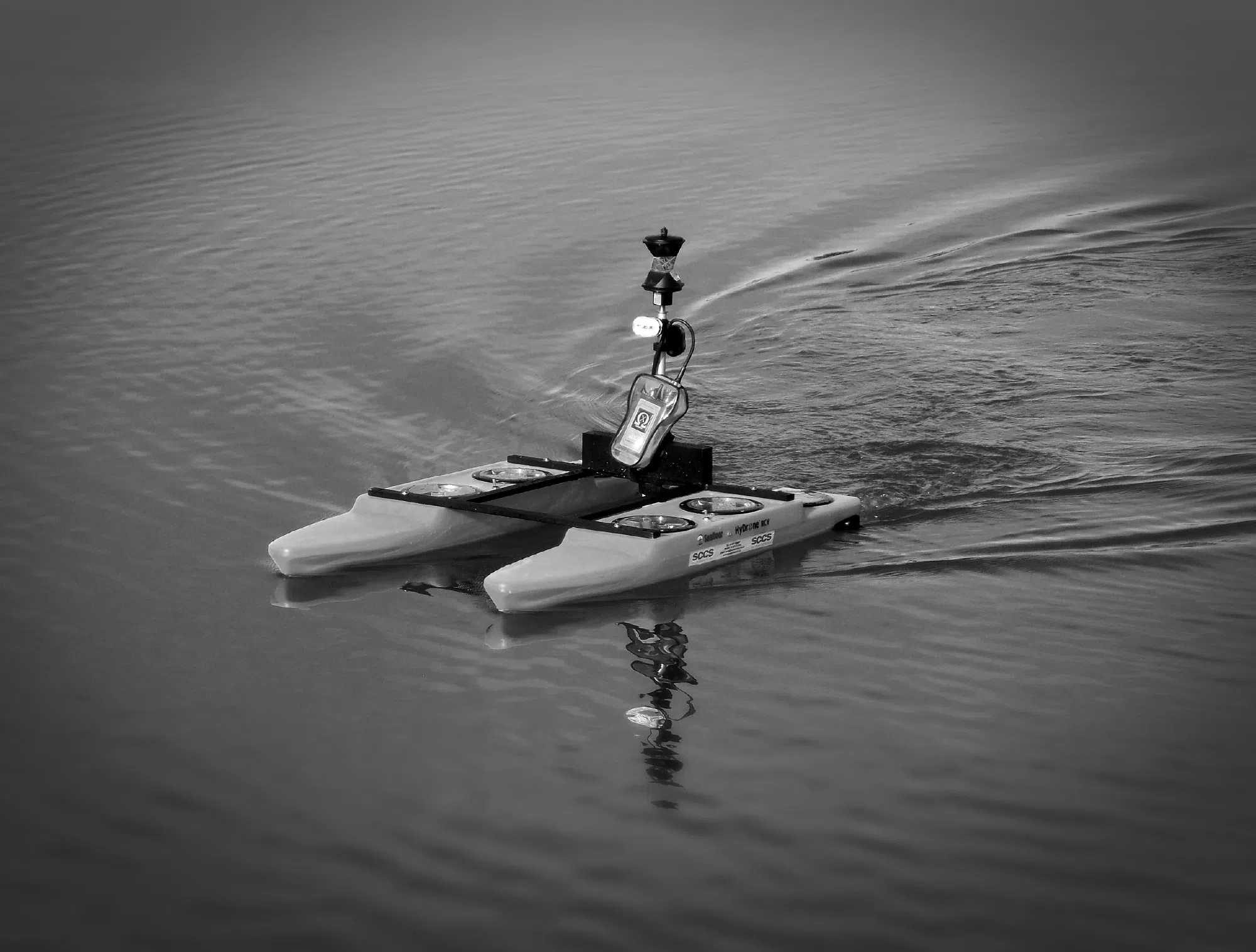
Using advanced GPS, sonar and echo-sounding technology, these surveys measure water depth, allow seabed mapping and detect any submerged structures.
The Role of Bathymetric Surveys
Bathymetric surveys are a key component of hydrographic surveying. These use single-beam and multibeam sonar systems to measure water depths and profile the underwater landscape, generating detailed topographic maps of river beds, sea floors and reservoirs. This data is crucial for projects like port development, dredging projects and environmental monitoring.
Why Hydrographic Surveys are Essential
Hydrographic surveys play a vital role in all kinds of projects:
Supporting Marine Construction Projects
Whether for port expansions, bridge foundations, underwater pipelines or offshore wind farms, marine survey services are vital for ensuring safety and stability. Coastal surveys can identify submerged obstacles, sediment composition and depth variations to help engineers plan and implement solutions that can withstand underwater marine conditions.
Ensuring Environmental Compliance
Environmental regulations require that bodies of water are carefully assessed before and during any construction activity. Hydrographic surveys help developers comply with regulations by giving detailed insights into water depth, sediment movement and ecological impact: a wealth of subsurface water data that supports sustainable development and protects ecosystems.
Enhancing Navigation Safety
Accurate waterway surveys help maintain safe navigation in bodies of water of all types. Detailed navigation surveys identify hazards such as wrecks, submerged rocks and shifting sandbanks, ensuring that vessels can navigate through them safely, reducing the risk of grounding and accidents.

Castle Surveys’ Hydrographic Surveying Process
At Castle Surveys, our surveys follow a three-step process:
Initial Consultation and Requirements Assessment
Every survey begins with a collaborative meeting with you to understand your exact project needs. We work closely with you to define your objectives, identify any challenges and determine the most effective survey methods to use. By tailoring our approach for every project, we ensure that you receive the most accurate and relevant survey data.
Advanced Technology and Techniques
Our state-of-the-art waterway surveying technology allows us to capture incredibly precise underwater data. Using advanced sonar systems, such as single-beam and multi-beam echo sounders, we generate high-resolution underwater mapping. We also use GPS positioning, side-scan sonar and more to detect seabed composition, potential hazards and other underwater features, generating highly detailed results.
Deliverables and Reporting
Following data collection and processing, we deliver clear, detailed reports, tailored to each client’s needs. Our outputs include seabed topography maps, bathymetric charts, GIS-compatible datasets and digital terrain models: essential tools for informed decision-making in waterway and marine projects.
Benefits of Choosing Castle Surveys
Our commitment to accuracy, industry expertise and client satisfaction means that every Castle Surveys project meets the highest standards of excellence.
Precision and Reliability
Using cutting-edge technology means we can capture highly detailed marine and waterway surveys, giving precise terrain and depth measurements. Our rigorous quality control processes ensure that clients receive accurate and dependable results, reducing uncertainty and supporting critical decision-making.
Industry Expertise
With extensive experience in hydrographic and bathymetric surveying, our team understands the unique challenges and requirements of waterway mapping projects. Our knowledge of UK marine regulations and compliance standards further ensures that our surveys align with industry regulations and best practices.
Client-Centred Approach
At Castle Surveys, we pride ourselves on our customisation and collaborative approach in order that surveys align fully with client objectives. From the initial consultation to the final report, we take the time to understand your project requirements and develop tailored surveying strategies. Through a combination of clear communication, transparent reporting and ongoing support, we help clients navigate the complexities of hydrographic surveying with ease.
Get Started with Hydrographic Surveys
Whether you need precise bathymetric data, support for construction planning or environmental assessments, our expert team is ready to help.
Schedule a Consultation
Get in touch with Castle Surveys for hydrographic survey services and we’ll schedule an initial consultation to determine the best surveying approach, ensuring you receive the most accurate and relevant data.
Explore Related Services
In addition to hydrographic surveys, Castle Surveys offers a variety of complementary services to support your project from start to finish:
- Boundary Surveys: Clearly define your property lines in coastal and waterway developments. Learn more about our boundary surveys.
- Topographic Land Surveys: Detailed land elevation data for seamless integration with hydrographic mapping. Discover our topographic land surveys.
- Measured Building Surveys: Precise data on existing structures. Explore our measured building surveys.