Drone Surveys vs Mobile Mapping: Choosing the Right Technology for Your Site
May 13, 2026 2:15 pmWhen a project brief says “we need a survey of the whole corridor” or “we need a full site model as fast as possible”, the temptation is to pick one shiny technology and stick with it. In reality, drone mapping surveys and mobile mapping surveys solve slightly different problems.
- Drones excel at wide‑area context, surface modelling, volumes, and hard to reach terrain.
- Mobile mapping excels at corridor detail, kerb lines, overhead wires, and street level assets, often at survey‑grade accuracy.
Rather than treating them as competing options, Castle Surveys uses both as part of a hybrid data capture approach, aligning everything in one coordinated model.
The Evolution of Rapid Data Capture
From Static Tripods to Moving Platforms
Traditional surveying was done with fixed total stations and GNSS receivers. Accurate yes, but time consuming and labour intensive over long corridors. As infrastructure schemes grew bigger and delivery windows shorter, the industry moved towards moving sensors that capture data continuously on the move. Correct but slow and labour intensive for long corridors. The schemes got bigger, the delivery windows got shorter and the industry moved towards moving sensors that collect data as they move.
That shift produced two powerful families of technology:
- UAV / drone mapping, where cameras or LiDAR fly over a site.
- Vehicle‑ or trolley‑mounted mobile mapping, where scanners and cameras capture data while moving along roads, tracks or paths.
Both methods still rely on core surveying principles: control, calibration, QA, but they gather far more information in far less time.
Defining the Core Tech: UAV (Aerial) vs Mobile (Terrestrial) LiDAR
At a technical level:
- Drone mapping surveys typically use:
- High resolution cameras for photogrammetry, producing detailed orthophotos and surface models.
- In more advanced setups, aerial LiDAR for direct 3D point clouds, less affected by light conditions and some vegetation.
- Mobile mapping surveys typically use:
- Terrestrial LiDAR, mounted on vehicles, trolleys or backpacks, scanning millions of points per second as they move.
- Integrated IMU and GNSS to track position and orientation.
- Often complemented by panoramic imagery for asset logging and condition recording.
Both produce point clouds and imagery, but the sensor position and geometry shape what each can do best.
Key Differences: Speed, Scale, and Accuracy
Drone and mobile mapping surveys both deliver rapid, high‑density data. The question is where you need that precision and how the site environment affects the capture.
High‑Level Comparison
| Aspect | Drone Mapping Surveys | Mobile Mapping Surveys |
| Typical viewpoint | Overhead, looking down | Street/track level, looking across |
| Core sensor | Aerial camera / LiDAR | Terrestrial LiDAR + imagery |
| Best for | Large sites, earthworks, roofs, hard‑to‑reach areas | Corridors (roads, rail), kerbs, street furniture, overhead lines |
| Accuracy | Usually 2–5 cm on surfaces for photogrammetry, tighter with specialist LiDAR and control | Often sub‑centimetre relative accuracy possible near the sensor, depending on configuration and control |
| Environment | Excels in open, unobstructed areas | Excels in urban streets, “urban canyons”, under bridges and canopies |
| Data density | Very dense on visible surfaces from above, less on vertical faces | Extremely dense on facades, kerbs, poles, parapets and vertical detail |
In other words, for aerial vs terrestrial LiDAR, the aerial route gives you the broad picture quickly, while terrestrial systems give you closer, sharper detail where it really counts for design.
When to Choose Drone Mapping Surveys
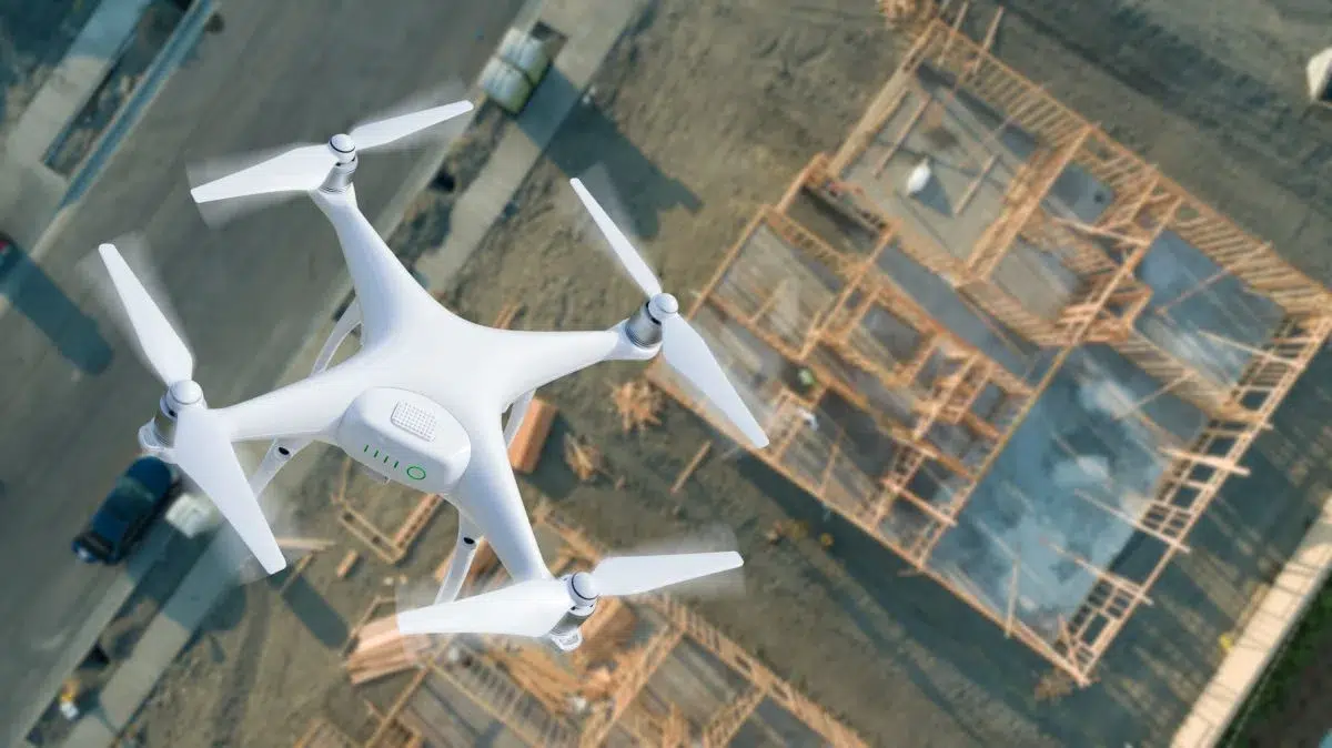
Large‑Scale Topography and Hard‑to‑Reach Terrains
Drones excel when you need big‑picture topography quickly. Typical use cases include:
- Greenfield development sites and large land parcels.
- Quarries, landfills, and open‑cast operations.
- Steep embankments, cuttings and areas that are unsafe or time‑consuming to walk.
By flying systematic grids, a drone can capture overlapping imagery that is processed into orthophotos and 3D surfaces. With proper ground control, the resulting terrain models provide accurate heights and contours suitable for topographic land mapping, feasibility design, and bulk earthworks planning.
Volumetric Analysis for Quarries and Earthworks
For quarries, stockpiles, bunds and earthworks, drone mapping surveys are hard to beat. Dense surface models allow rapid calculation of:
- Cut and fill volumes.
- Stockpile quantities.
- Progress over time by comparing multiple survey epochs.
Because the drone sees the entire pile from above, it can capture shapes that are difficult to measure from ground‑based instruments alone. That makes it ideal for commercial reporting, reconciliation, and planning.
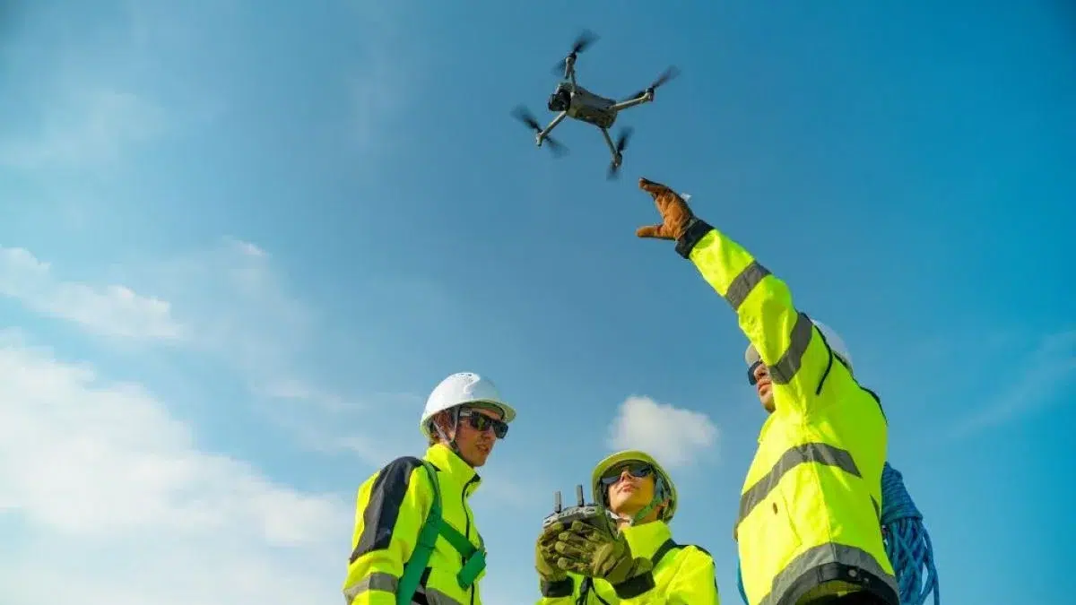
Navigating the UK’s CAA Regulations and No‑Fly Zones
Drone operations in the UK must adhere to CAA regulations, particularly in the vicinity of airports, prisons, city centres and critical national infrastructure.
Professional drone survey services manage:
- Airspace checks and flight permissions.
- Operator qualifications and insurance.
- Risk assessments around people, buildings, and roads.
On some sites, dense city centres or areas near airports, drone flights may be restricted. That is where having mobile mapping survey services available as a terrestrial counterpart is invaluable.
VIEW OUR DRONE SURVEYS SERVICES
When Mobile Mapping Surveys Take the Lead
Linear Infrastructure: Highways, Railways, and Tunnels
Mobile mapping really comes into its own on corridor projects, roads, tramways, rail, cycle routes and complex highway junctions.
Driving or pushing a LiDAR rig along these routes collects:
- Kerb lines, carriageway edges, central reservations and verges.
- Signage, lighting columns, barriers, parapets and bridge structures.
- Surrounding buildings and boundary features where needed.
Because the sensor is moving at traffic speed, tens of kilometres can be covered in a single shift, generating highly detailed, survey‑grade point clouds along the corridor.
For design teams working in Civil 3D or similar, this is ideal for:
- Resurfacing schemes and pavement design.
- Junction redesign and traffic signal upgrades.
- Public realm improvements and streetscape projects.

Mapping “GPS‑Denied” Environments with SLAM Technology
In tunnels, underpasses, dense urban canyons, or heavily tree‑covered streets, GNSS signals are unreliable or absent. Here, SLAM (Simultaneous Localisation and Mapping)‑based mobile systems are a powerful option.
These units use LiDAR data itself, plus inertial sensors, to track movement and build a 3D map, even without continuous GPS. That makes them ideal for:
- Tunnels and underground structures.
- Enclosed industrial plants and depots.
- Streets overshadowed by tall buildings where satellite geometry is poor.
For UK infrastructure, where older assets often sit under complex constraints, mobile LiDAR mapping with SLAM fills the gaps that aerial or static methods cannot address alone.
High‑Speed Data Collection Without Traffic Management
Drone operations in the UK must adhere to CAA regulations, particularly in the vicinity of airports, prisons, city centres and critical national infrastructure.
That means:
- Less disruption to the public.
- Lower traffic management costs.
- More flexibility around survey windows.
For local authorities and trunk road operators, those benefits are often as important as the raw accuracy.
VIEW OUR MOBILE MAPPING SURVEYS SERVICES
The “Hybrid” Advantage: Combining Aerial and Terrestrial Data
The most powerful strategy for many schemes is not choosing one or the other, but using both in a controlled, planned way.
Why Castle Surveys Often Uses Both on a Single Site
Castle Surveys Ltd frequently deploys both drone mapping and mobile mapping on the same project to exploit the strengths of each:
- Drones provide site‑wide context, terrain, roofs, earthworks, and surrounding environment.
- Mobile mapping adds high‑precision corridor detail, kerbs, road markings, structures, overhead lines and urban furniture.
By tying both datasets into the same coordinate system and survey control, we can:
- Deliver a single, seamless point cloud and surface model.
- Support everything from early planning to detailed design in one environment.
- Avoid patchwork datasets from different suppliers with varying standards.
This is especially useful for:
- Road improvement projects where the verge and wider catchment matter.
- Rail schemes where station areas, approaches and nearby properties must all be considered.
- Large estates or campuses with a mix of buildings, roads, car parks and landscape.
Integrating Data into a Single Digital Twin (Revit & Civil 3D)
Once captured, all data, drone‑derived and mobile LiDAR, can be integrated into:
- Civil design platforms such as Civil 3D, OpenRoads, or similar.
- Building‑focused environments such as Revit for structures adjacent to transport corridors.
- Broader digital twin frameworks for long‑term asset management.
The result is a unified 3D model of your infrastructure, with point cloud density tailored to where you need the most detail. High-density scans of corridors are adjacent to wider aerial surfaces, all registered to survey-grade control. High-density corridor scans are fused with wider aerial surfaces, all to survey-grade control.
For BIM managers and design leads, that means fewer compromises, fewer assumptions, and less time stitching disparate data together.
Conclusion: Maximising ROI with the Right Mapping Strategy
The choice between drone vs mobile mapping is not simply about which technology is more advanced or fashionable. It is about asking where you need precision, what the environment allows, and how the data will be used downstream.
- Choose drone mapping surveys when you need wide‑area coverage, terrain models, roof information and volumetrics over open or semi‑open spaces.
- Choose mobile mapping surveys when corridor detail, kerbs, furniture and structures along roads or rails are central to the design.
- Choose a hybrid approach when you want the best of both: broad context plus fine detail in one integrated, survey‑grade dataset.
Castle Surveys Ltd positions itself as an agnostic technology partner. The recommendation is driven by your project’s risk profile, accuracy requirements and budget, not by a single piece of kit.
If you have a complex site, highways, rail, mixed‑use estates or campuses, speak to our technical leads. Together, we can define the most cost‑effective mapping strategy for your project, combining aerial and terrestrial data where it adds value, and keeping things simple where it does not.
Get in touch to discuss your brief and explore how a tailored blend of drone and mobile mapping can reduce risk, shorten programmes, and give your design teams the confidence they need.
This post was written by James Tindall
Comments are closed here.