-
 When you’re planning a new development, the last thing you want is a nasty surprise hiding beneath the ground. That’s exactly why a site feasibility study is such an important part of the early stages of any project. It gives
 -
 Accurate setting out surveys really do make all the difference when it comes to a successful solar installation, and if you’re in the business of getting panels fitted perfectly, you’ll know how easy it is to fall short if the
 -
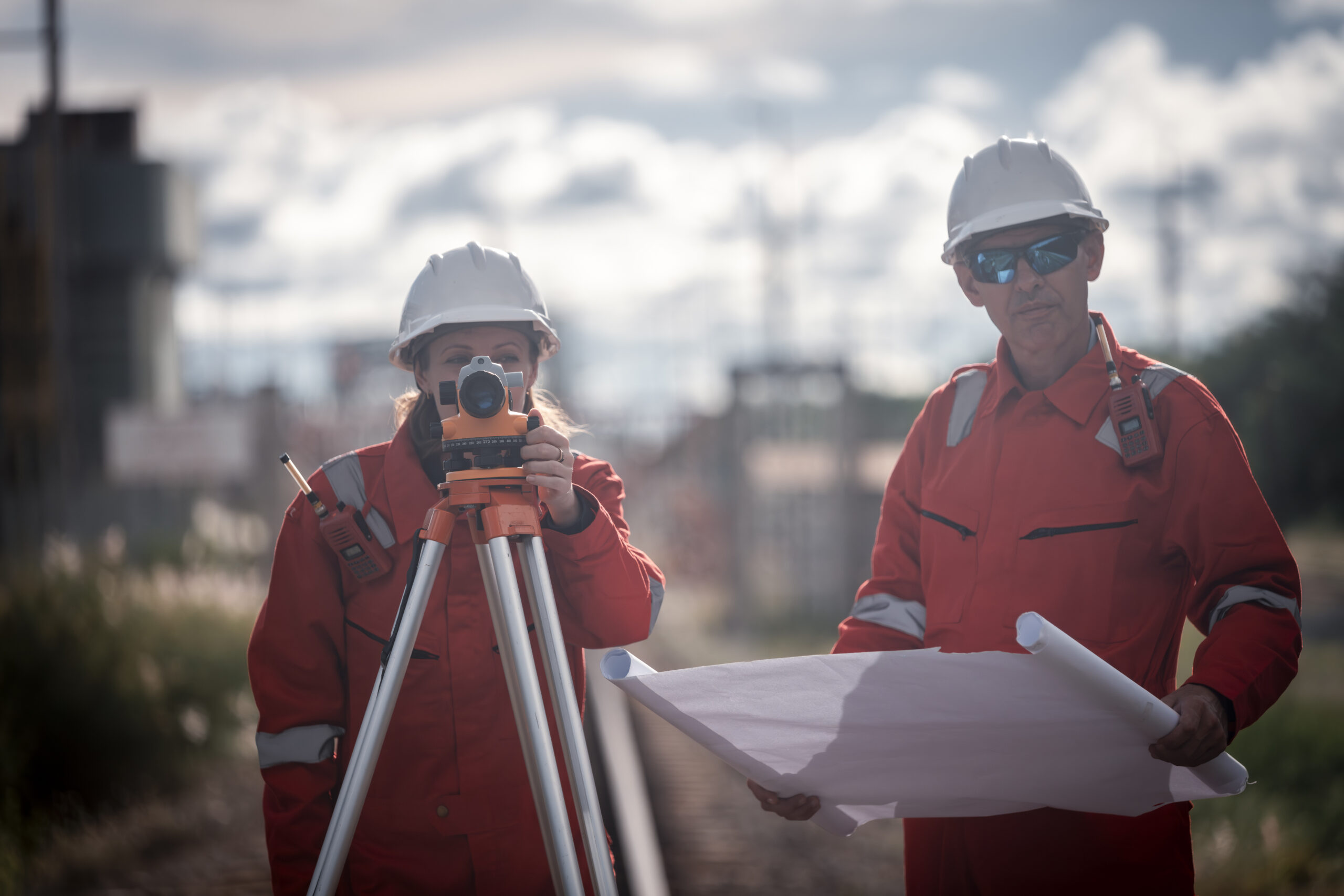
 Topographic surveys are the backbone of accurate design, planning, and construction. For professionals working across infrastructure, civil engineering, and land development, precision is vital. While traditional surveying instruments such as total stations remain crucial, the increasing use of GPS in
 -
 What Is Mobile Mapping? You might be wondering, what is mobile mapping and how is it different from the usual surveying methods we know? In simple terms, it’s a way of capturing large amounts of accurate site data while on
 -
 In construction, accuracy is everything. Nowhere is this truer than in setting out for brickwork, where even the smallest deviation can cause walls to misalign, compromise the structure’s stability, or lead to costly rework. Unlike other aspects of site preparation,
 -
 Ever wondered how some construction sites seem to run like clockwork, even when they stretch for miles? The secret, more often than not, is geodetic control. It’s one of those behind-the-scenes essentials that quietly keeps everything on track, whether you’re


