
-
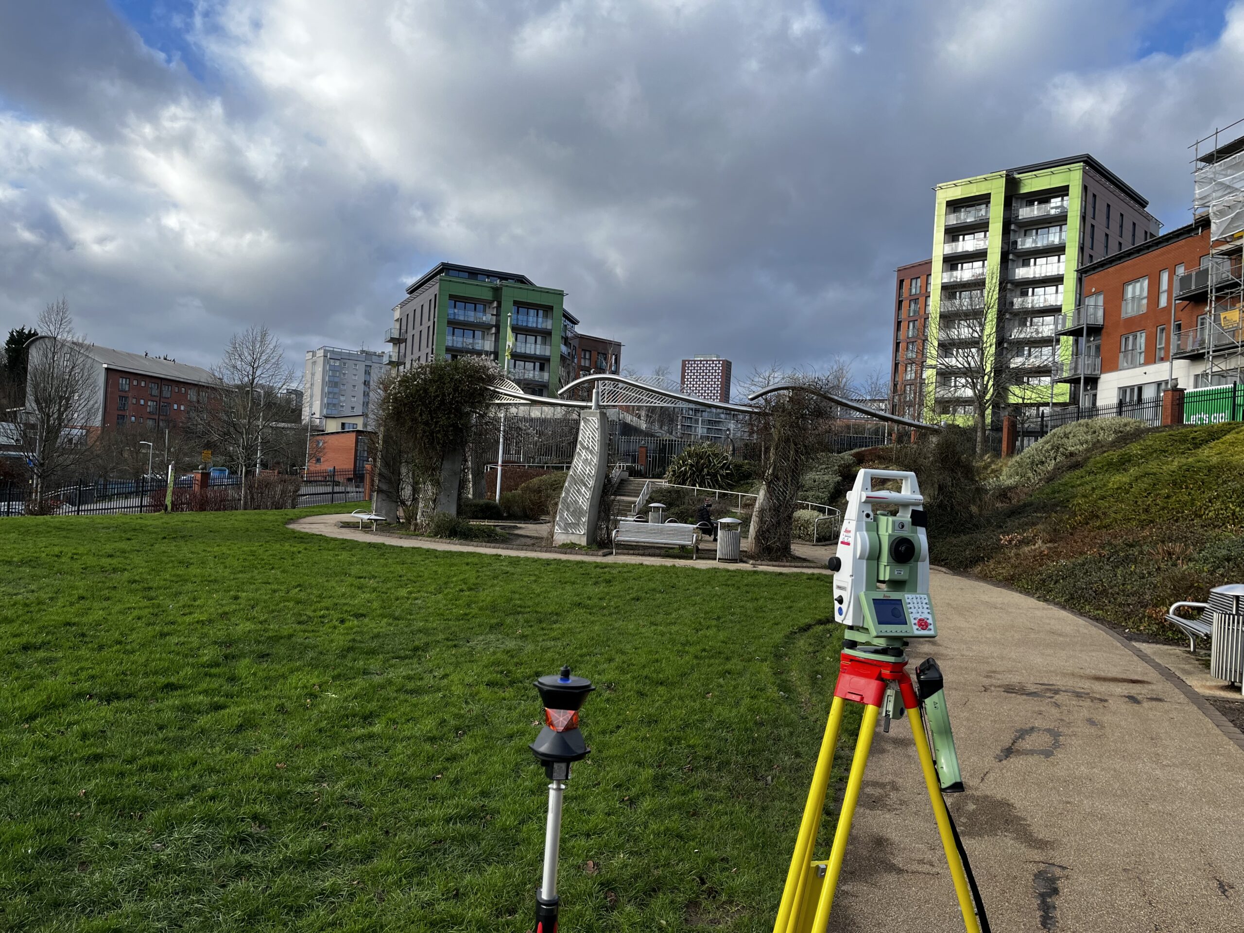 When submitting a planning application for a new development, one of the key elements that can make or break a project is how it is visually represented. Local authorities, stakeholders and communities often need to fully understand the potential impact
 -
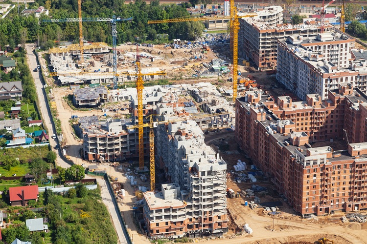 When it comes to large-scale developments, accuracy and efficiency are three of the most important factors. Whether you’re involved in infrastructure projects, urban planning or environmental assessments, the ability to collect and analyse geospatial data quickly and accurately can make
 -
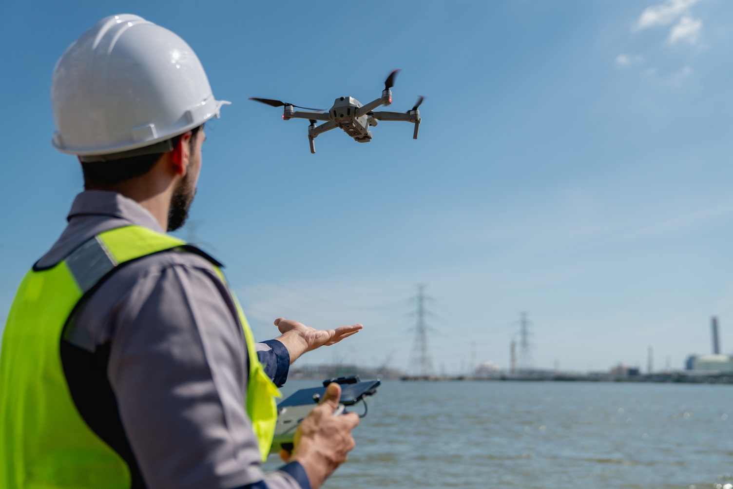 When it comes to quarry operations, effective management and safety are important. Quarry drone surveys are rapidly transforming the way quarries are managed, providing enhanced geospatial data, improving resource allocation and helping to ensure the safety of personnel. The Role
 -
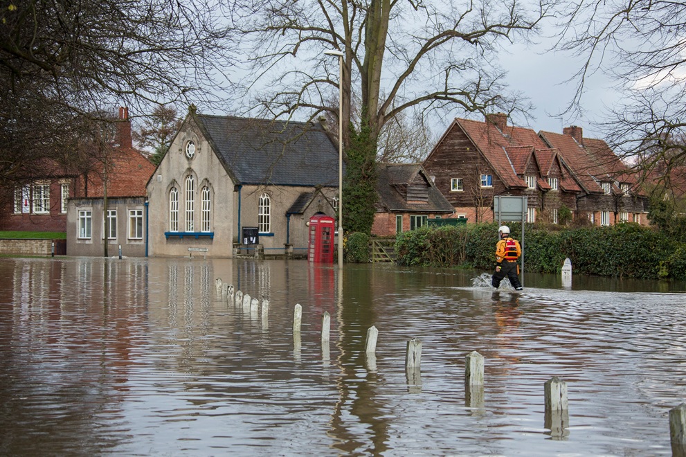 Flooding is a destructive natural hazards, affecting communities, properties and infrastructure. As urbanisation continues and climate change increases the likelihood of extreme weather events, effective flood risk management has never been more important. At Castle Surveys, we offer professional topographical
 -
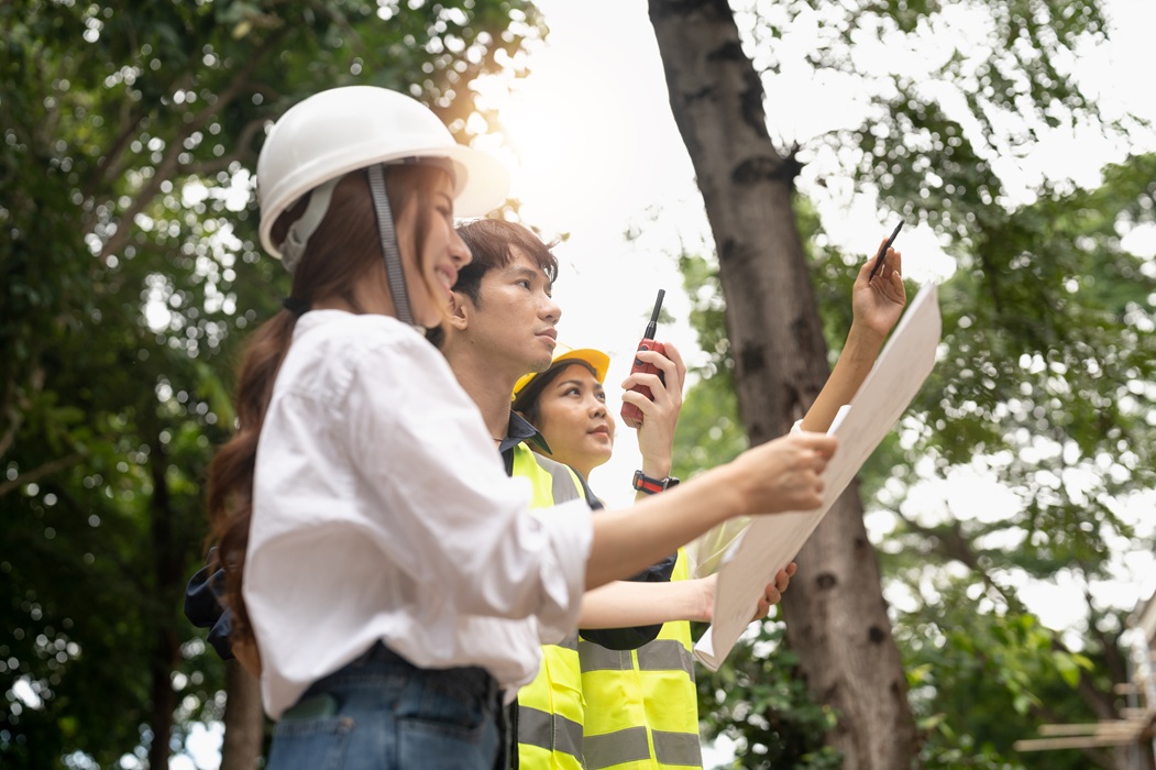 Urban development projects are becoming increasingly complex, with the need to balance the demands of modern infrastructure and the preservation of our natural environment. Because of this, arboricultural surveys have become an essential tool in urban planning, helping to ensure
 -
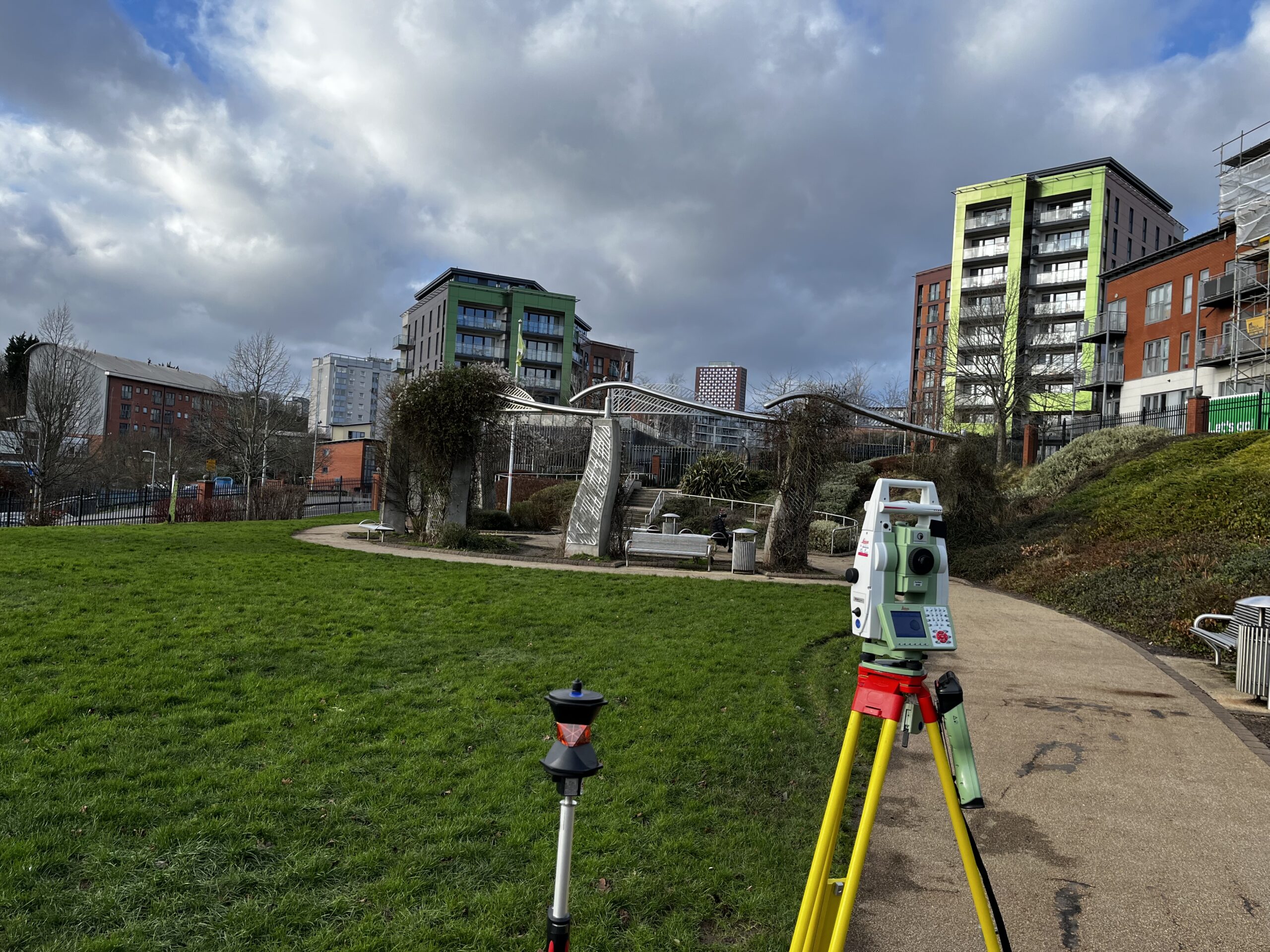 Renovation projects, from historic buildings to modern spaces, require precise planning, accurate data and efficient execution. In the past, renovation teams often relied on traditional surveying methods, which could be time‐consuming, inaccurate and prone to error. Today, 3D scanning technology


