How Topographical Surveys Aid in Flood Risk Management
March 6, 2025 10:35 am
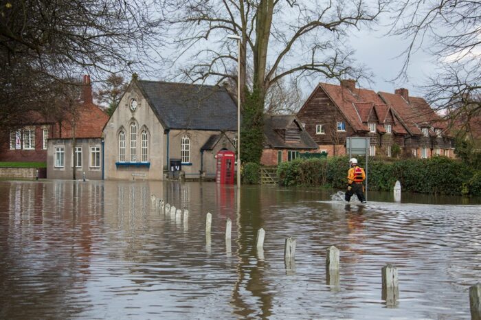
Flooding is a destructive natural hazards, affecting communities, properties and infrastructure. As urbanisation continues and climate change increases the likelihood of extreme weather events, effective flood risk management has never been more important. At Castle Surveys, we offer professional topographical surveys that play a key role in flood prevention, helping planners, developers and local authorities make informed decisions to mitigate flood risks and protect valuable assets.
The Role of Topographical Surveys in Flood Prevention
Understanding Flood Risk Mapping
Flood risk mapping (flood prevention surveys) is a key component of flood prevention strategies. It involves identifying areas prone to flooding and assessing the potential impact of flood events. Flood risk maps are used by local authorities, developers and emergency planners to understand which areas are vulnerable to flooding and to plan appropriate flood control measures. These maps are based on various data, including historical flood events, rainfall patterns and topographical information, all of which provide critical insights into flood behaviour.
Topographical surveys are vital for creating accurate flood risk maps. By gathering detailed data about the land’s shape, elevation and drainage features, these surveys provide the foundation for reliable flood risk modelling. Elevation data, in particular, helps to predict how water will flow during a flood event, identifying areas most at risk. At Castle Surveys, we specialise in providing precise topographical surveys that are essential for effective flood risk mapping.
The Importance of Elevation Data
Elevation data mapping plays a central role in flood risk management because it allows us to determine the natural flow of water and identify areas that are at high risk of flooding. Flooding is heavily influenced by the topography of the land, with low-lying areas being particularly vulnerable. Elevation surveys provide detailed information about the height and slope of the land, enabling planners to assess how water will move across a site during periods of heavy rain or extreme weather.
By collecting accurate elevation data, topographical surveys help identify flood-prone areas, including those at risk from surface water run-off, river floods or coastal surges. This data is essential for planning flood defences, designing drainage systems, and determining the most suitable areas for development. With Castle Surveys’ expert elevation mapping services, developers, engineers and local authorities can take proactive steps to reduce flood risk and protect their projects and communities.
Benefits of Topographic Data in Flood Risk Assessments
Enhancing Development Planning
Topographical surveys are an important tool for developers looking to mitigate flood risks during the planning and design stages of their projects. Flood risk assessments, based on detailed topographic data, help identify areas that require special attention, such as those that need flood defences, drainage solutions or strategic regrading to direct water away from buildings.
In areas where flood risks are higher, topographical data can guide the design of appropriate measures to ensure safety. This may include the construction of flood barriers, flood storage areas or the implementation of sustainable drainage systems. By integrating topographic flood surveys early in the planning process, developers can make informed decisions that not only protect properties but also reduce future liabilities related to flood damage.
Topographic surveys can also be used to inform local planning authorities about the viability of proposed developments. Many planning applications require detailed flood risk assessments to ensure that new developments will not exacerbate existing flood problems. By providing accurate flood data, topographical surveys play a pivotal role in securing planning approval for projects while ensuring that developments are sustainable and flood-resilient.
Supporting Disaster Prevention Strategies
Flood risk management is not just about responding to floods after they occur, but also about planning ahead to prevent damage and loss of life. Local councils and emergency services rely on topographical data to create comprehensive flood preparedness and disaster prevention strategies. Accurate flood risk mapping, informed by detailed elevation surveys, allows these authorities to identify the most vulnerable locations and plan appropriate responses.
Topographical surveys help inform flood warning systems, evacuation plans and flood barriers. By understanding the flow of water and identifying areas at risk of inundation, councils can implement targeted flood prevention measures, such as upgrading drainage systems or building flood defences in key areas. In flood-prone regions, this data is essential for ensuring that emergency response efforts are swift and effective.
Topographical surveys can also be used to support climate change adaptation strategies, ensuring that future development takes into account changing weather patterns and rising flood risks. At Castle Surveys, we work closely with local councils and disaster prevention teams to provide data that supports long-term flood resilience.
Castle Surveys’ Expertise in Flood Risk Mapping
Advanced Surveying Equipment
Castle Surveys uses the latest surveying equipment and technology to provide the most accurate topographical data available. We employ a combination of traditional surveying techniques and advanced technologies, such as LiDAR (Light Detection and Ranging), drones and GPS, to capture precise elevation and topographical data. These tools allow us to create highly detailed, three-dimensional maps that reveal the smallest changes in elevation, which are important for flood risk assessment.
As an example, LiDAR technology uses laser light to measure distances to the Earth’s surface, providing incredibly accurate elevation data. This is useful for identifying subtle changes in terrain that could affect water flow, helping to pinpoint areas that might otherwise be overlooked with traditional surveying methods. Our drone surveys also allow us to quickly gather data over large or hard-to-reach areas, reducing survey time and costs while maintaining high levels of accuracy.
By using state-of-the-art surveying equipment, we ensure that the topographical data we collect is of the highest quality, providing a solid foundation for flood risk mapping and management.
This post was written by Paul Jackson

Comments are closed here.