Why Civil Engineers Rely on Geodetic Control in Large-Scale Projects
September 29, 2025 2:01 pmEver wondered how some construction sites seem to run like clockwork, even when they stretch for miles? The secret, more often than not, is geodetic control. It’s one of those behind-the-scenes essentials that quietly keeps everything on track, whether you’re building a single bridge or reshaping an entire section of city. I’ve seen more than a few projects falter simply because this vital step was skipped or handled carelessly. Let’s talk through what makes geodetic control tick—and why it’s so important for getting every detail right.
What Is Geodetic Control, Anyway?
Think of geodetic control as the backbone of all precise measurement on a site. It’s a network of fixed reference points, carefully mapped and tied into national or even global coordinate systems. Forget the old image of a single wooden peg keeping everything in line—today’s geodetic control networks give you a framework solid enough to build a skyscraper (or three) on.
Local control is fine if you’re laying out a small garden or a single car park. Once you’re operating at scale, though, geodetic control is what keeps everyone speaking the same spatial language. I’ve found it’s the only way to be sure that the work done today lines up perfectly with the work that comes next month, or even next year.

The Real Value in Civil Engineering Projects
Accuracy on a Grand Scale
Anyone who’s delivered a multi-hectare site will know how the tiniest measuring error can snowball. I once saw a half-metre misalignment creep in just from ignoring proper control at the outset; it doesn’t sound like much until you’re trying to fit a road under a bridge and suddenly the sums don’t add up. Geodetic control networks make those errors a thing of the past, holding everything—no matter how sprawling—firmly in place.
Aligning Multiple Teams
You’ll rarely have just one contractor on a big site. Steel goes in from one engineer, concrete from another, services from a third… if everyone’s working from their own tape measure, chaos isn’t far away. By establishing primary control points and clear surveying benchmarks, you give every team the same trusted coordinates. No more arguments on site, no unexpected clashes a year down the line.
Powering Digital Design and Construction
Civil engineering has gone digital—there’s BIM, CAD, GIS, you name it. Every model, every drawing, relies on spot-on spatial data. A decent geodetic control network is like having a universal adapter for your site’s data, making sure planning, construction, and as-built checks all line up seamlessly. I’ve seen the difference first-hand when teams can pass data from desktop to digger with zero drama.

How Do You Build a Geodetic Control Network?
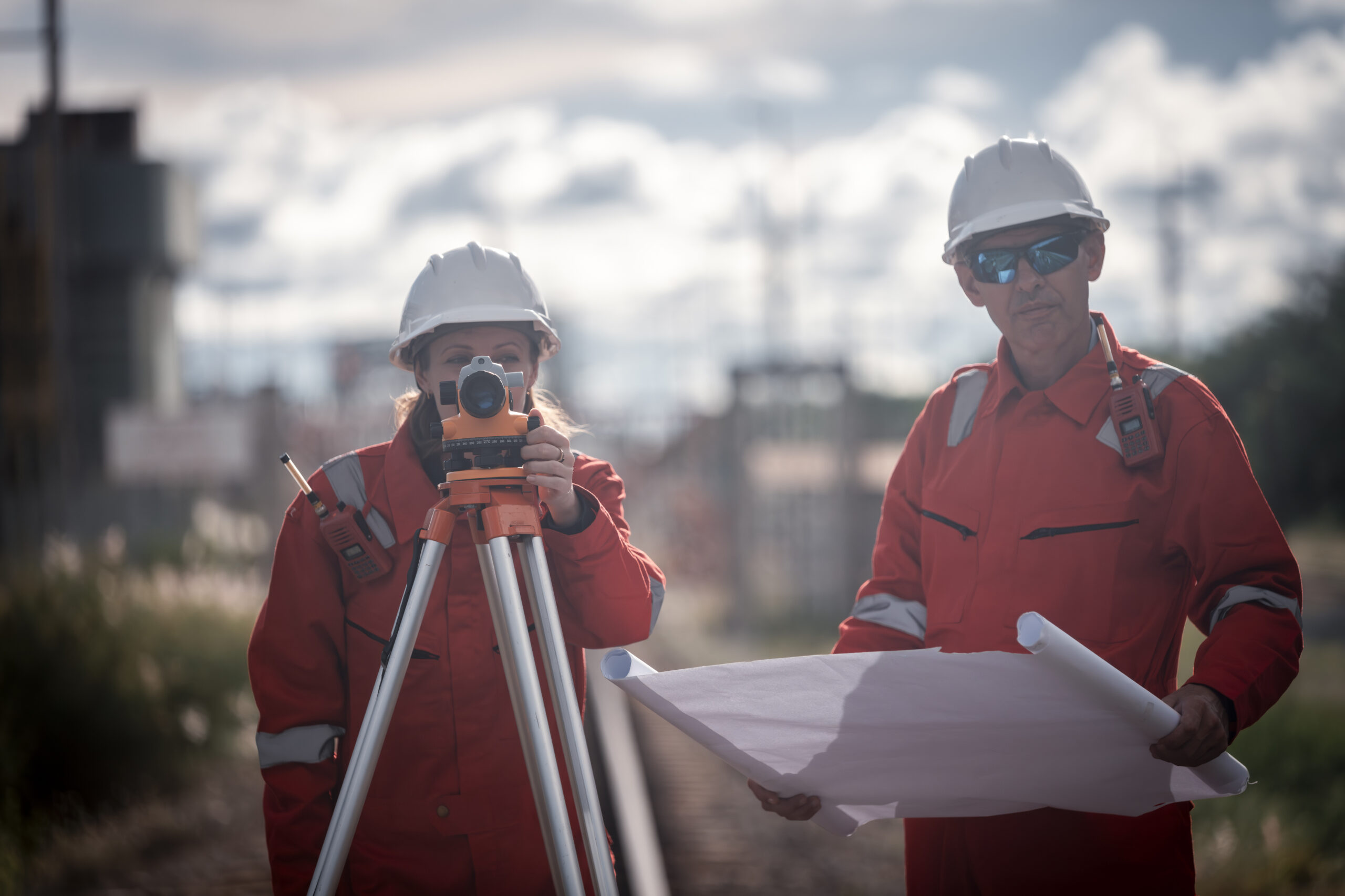
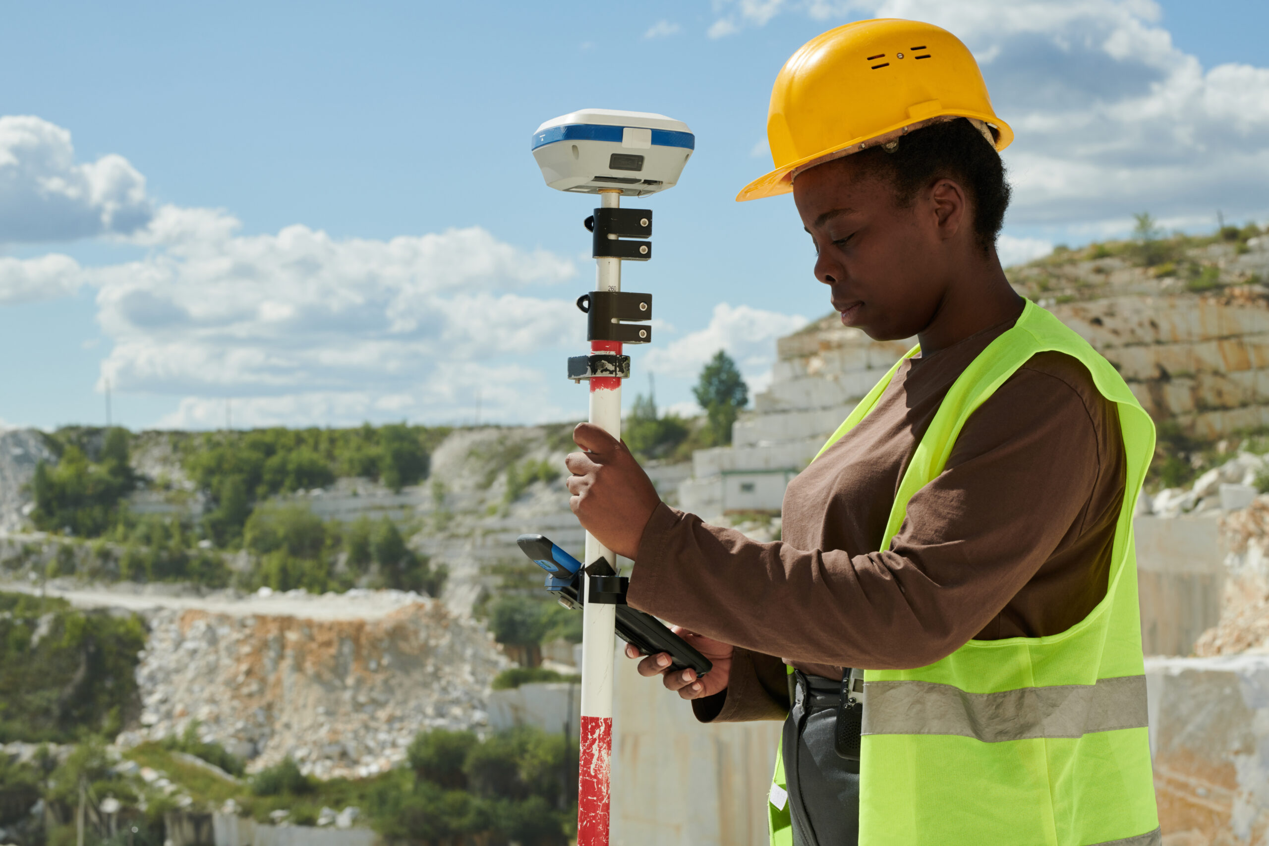
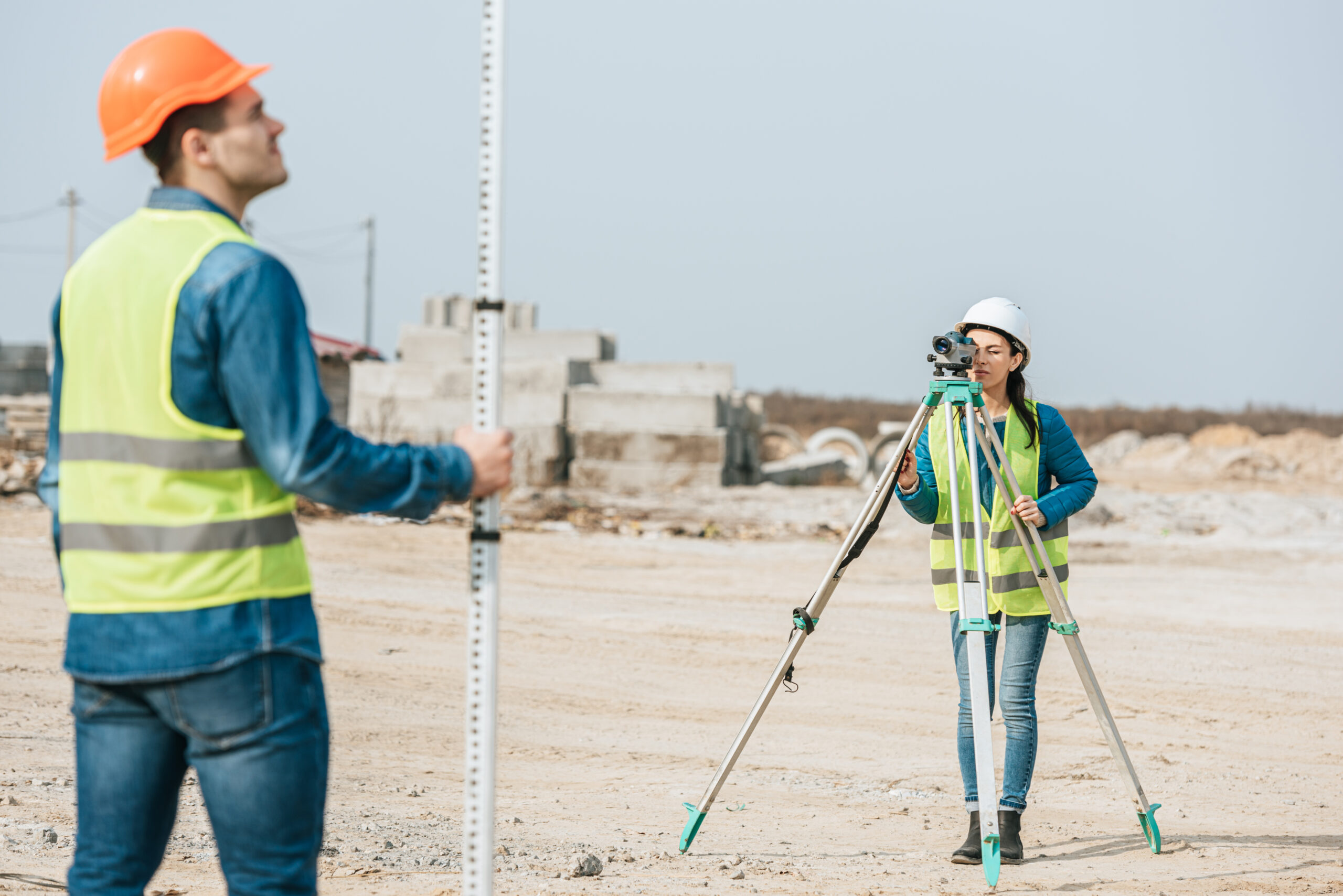
It starts with laying down primary control points—properly marked positions, referenced to the national grid so nothing drifts or moves. Secondary points fill in the gaps, making access easy across the site. GNSS (the clever satellite tech), total stations, and classic benchmarks are all in the mix, giving you accuracy from fence post to tower crane.
And here’s a tip I always share: document the lot, every coordinate, photo, and nail in the ground. Projects with well-kept records run smoother, especially when phases shift, teams change, or new contractors come in and need to pick up the thread.
How Castle Surveys Gets Geodetic Control Right
At Castle Surveys, we treat geodetic control as the foundation, not just an afterthought. Our engineers work with precision, whether they’re establishing fresh networks or checking on ones a decade old. We make sure control fits seamlessly with site engineering & setting out and remains consistent, project after project.
Quality assurance is a given. If something moves or the unexpected happens (and it does), we’ll recheck, reobserve, and make sure everything’s as precise as day one. There’s always a professional on hand to talk through the options and help solve snags before they grow into bigger issues.
Bringing It All Together
Geodetic control isn’t just another tick box—it’s the bedrock of certainty on your site. It cuts out costly errors, keeps all your teams in step, and gives you absolute confidence that today’s work will still fit tomorrow’s designs.
If you’re serious about delivering a large-scale project with zero surprises, start strong. Contact Castle Surveys to set up geodetic control you can rely on, so every metre, model, and milestone sits exactly where it should.
This post was written by Paul Jackson

Comments are closed here.