The Advantages of Using LiDAR Technology in Surveying
May 15, 2025 6:13 pmIn the ever‑evolving field of geospatial data collection, LiDAR technology is setting new standards for precision and efficiency. For surveyors, architects, planners, engineers, and construction companies, the ability to collect high‑resolution spatial data quickly and accurately has never been more critical. At Castle Surveys Ltd, we recognise the transformative role that LiDAR plays in delivering superior survey outcomes, particularly when integrated into services like topographic land surveys, mobile mapping, and site engineering and setting out.
What Is LiDAR?
LiDAR (Light Detection and Ranging) is a remote sensing technology that uses laser light to measure distances. A LiDAR system emits laser pulses toward a target area, and the time it takes for each pulse to bounce back is recorded. By analysing these return signals, the system generates highly accurate three‑dimensional information about the shape and surface characteristics of the target environment.
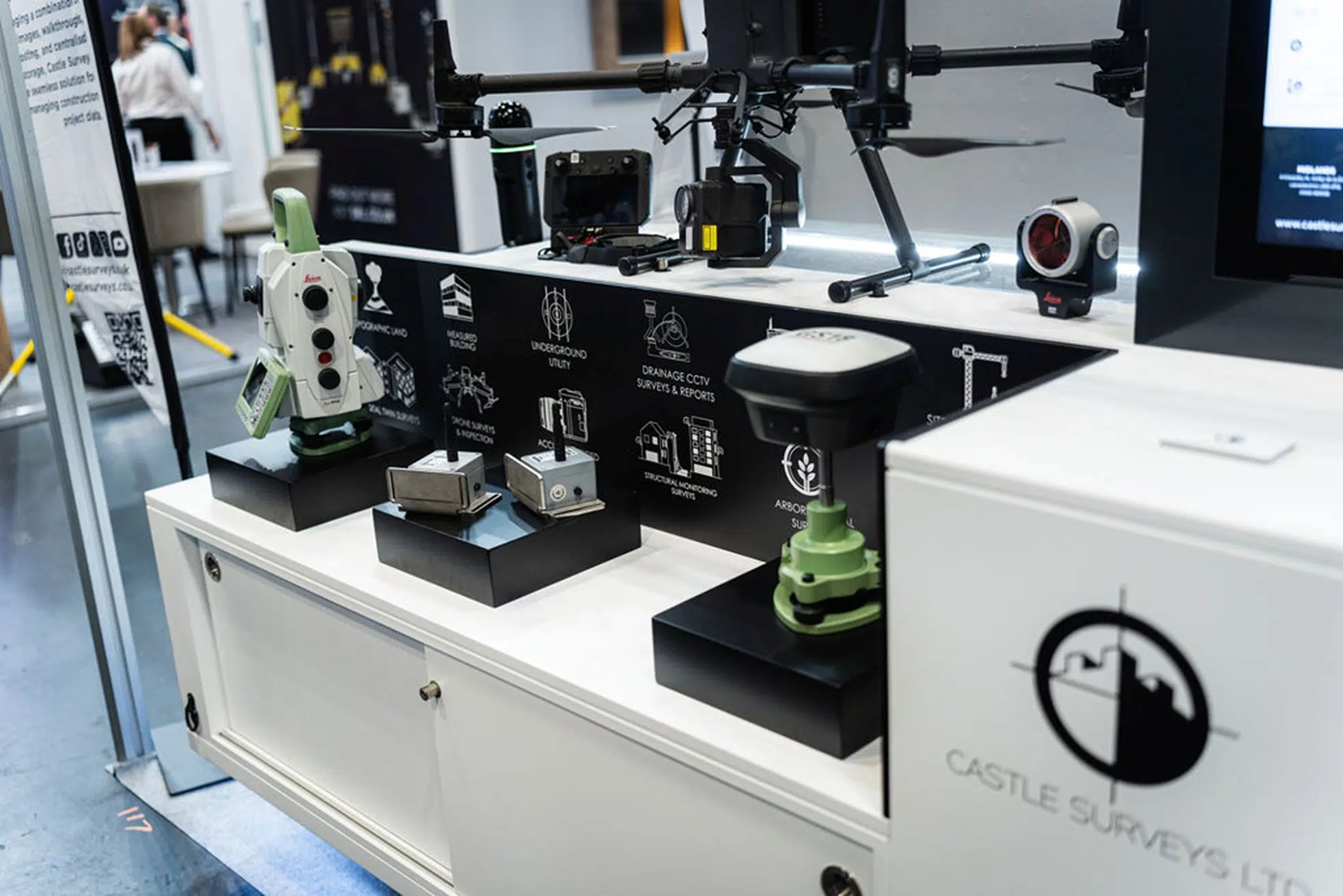
LiDAR systems can be mounted on various platforms, including drones, vehicles, and tripod‑mounted scanners. At Castle Surveys Ltd, we integrate mobile mapping and static 3D laser scanning with LiDAR sensors to produce dense point clouds and detailed spatial data.
Enhanced Accuracy in Topographic Land Surveys
One of the standout advantages of LiDAR is its ability to produce high‑resolution topographic data with remarkable accuracy, even in challenging terrain or densely vegetated areas. Traditional methods often struggle to capture ground elevations in forested or obstructed areas, but LiDAR’s laser pulses can penetrate gaps in vegetation, providing reliable terrain data beneath.
A 2020 study published in the Remote Sensing journal found that LiDAR‑based elevation models had a vertical accuracy within ±10 cm in complex environments, significantly outperforming conventional survey techniques. For our clients—whether architects planning new developments or civil engineers designing infrastructure—this level of detail and accuracy is indispensable.
Efficiency and Speed of Data Collection
Time is often a critical factor in construction and development projects. Traditional surveying methods can be time‑consuming, especially over large or inaccessible areas. LiDAR excels in this domain by dramatically reducing field time while increasing data volume.
Using our mobile mapping systems equipped with LiDAR, we can capture hundreds of thousands of data points per second while moving. This approach allows us to map expansive areas, such as highways, railways, or city centres, within a fraction of the time required by manual methods without sacrificing quality.

Creating Digital Twins for Smarter Planning
The concept of digital twins—virtual replicas of physical environments—is increasingly important in modern architecture and construction. LiDAR data is the foundation for creating these accurate digital models.
With its ability to capture fine spatial detail, LiDAR supports the generation of high‑fidelity 3D representations of real‑world sites. These digital twins allow planners, engineers, and stakeholders to simulate and analyse infrastructure performance, detect potential conflicts, and improve design coordination.
For example, when conducting measured building surveys or validating the layout of utilities identified in PAS128 underground utility surveys, integrating LiDAR data ensures that the resulting models are geometrically accurate and suitable for use in BIM platforms.
Greater Safety and Accessibility
Surveying can sometimes involve hazardous or difficult‑to‑access locations, such as roadways, cliffs, or industrial sites. LiDAR enhances safety by reducing the need for surveyors to enter potentially dangerous environments.
By mounting LiDAR sensors on drones or vehicles, we can collect data remotely and safely. This is particularly beneficial in live traffic scenarios or confined areas, where traditional equipment might be impractical or unsafe.
Moreover, in CCTV drainage surveys, combining LiDAR with camera systems can improve the accuracy of pipe profiling, supporting better maintenance and rehabilitation planning.
Versatility Across Applications
LiDAR is not limited to a single type of survey. At Castle Surveys Ltd, we apply this technology across various services, including:
• Topographic Land Surveys – Capturing terrain data for infrastructure, environmental, and land development projects.
• Measured Building Surveys – Mapping façades and interiors with millimetre accuracy.
• Site Engineering and Setting Out – Verifying levels and dimensions to ensure construction meets specifications.
• Construction Verification – Comparing as‑built conditions with design models to identify deviations early.
Data Integration with GIS and BIM Platforms
Modern surveying doesn’t exist in isolation—it’s part of a broader digital ecosystem. LiDAR data integrates seamlessly with Geographic Information Systems (GIS) and BIM tools, allowing for more advanced analysis, visualisation, and coordination.
Environmental Benefits of LiDAR
LiDAR also supports sustainable development. By reducing time spent on‑site and minimising the need for physical disruption during surveys, LiDAR helps lower the environmental impact of data collection.
In addition, it’s a vital tool for monitoring environmental change, identifying flood risks, and supporting biodiversity assessments. When used in combination with mobile mapping, LiDAR enables us to monitor terrain alterations over time and provide data that contributes to more responsible planning and development.
The Future of Surveying with LiDAR
As LiDAR technology continues to advance, its role in surveying will only grow. Developments such as higher pulse rates, improved range, and AI‑enhanced point cloud processing are expanding the capabilities of surveyors.
At Castle Surveys Ltd, we remain committed to staying at the forefront of these innovations. By investing in the latest LiDAR equipment and software, we ensure that our clients benefit from state‑of‑the‑art solutions that deliver greater precision, faster turnaround times, and better project outcomes.
Partner with Castle Surveys for LiDAR‑Enabled Insights
LiDAR is revolutionising the surveying industry—delivering better data, faster insights, and safer working conditions. From topographic land surveys to digital twins and mobile mapping, the advantages of LiDAR are clear. For architects, planners, construction professionals, and engineers, working with a partner who understands and applies this technology effectively can make a measurable difference in the success of your project.
Castle Surveys Ltd is proud to offer advanced LiDAR‑enabled solutions tailored to your needs. With our extensive expertise and commitment to accuracy, we ensure your project starts with the best possible data.
Explore how our LiDAR surveys can benefit your next project today.
This post was written by Paul Jackson
Comments are closed here.