
Accurate Underground Utility Mapping Surveys with Advanced GPR Technology
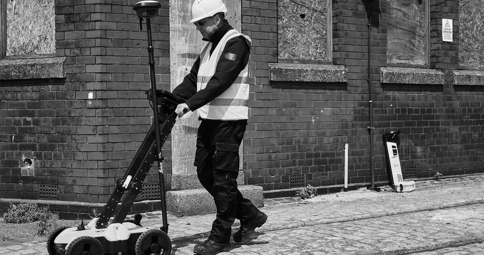
At Castle Surveys, we deliver accurate and dependable utility surveys using the latest Ground Penetrating Radar (GPR) systems. Our specialists provide complete utility mapping and underground scanning services, giving you a clear understanding of what lies beneath before any construction or excavation begins. Every survey is designed to keep your project on schedule, within budget and free from unexpected risks.
What Are Underground Utility Mapping Surveys?
Underground utilities mapping plays an essential role in modern infrastructure and development. A utility survey identifies and records buried services such as gas, water, electricity, drainage and telecoms. Using GPR and other advanced tools, we can pinpoint their location and depth with high accuracy, helping you visualise the subsurface environment before work starts.
It sounds straightforward when you put it like that. It rarely is. Ground conditions, service density and record accuracy vary wildly from site to site (a Victorian terrace in Manchester and a greenfield plot in Leicestershire are entirely different puzzles), which is exactly why the survey matters more on some jobs than others.
Benefits of Underground Utility Surveys for Infrastructure Projects
Improved Safety
Accurately identifying and mapping underground utilities significantly enhances safety on construction sites. Whether you’re working on a new build or a redevelopment project, knowing where utilities are located can help your team avoid accidental damage to cables, pipes, and other essential infrastructure.
Damaging an underground utility can lead to serious consequences, including electrical hazards, gas leaks, water supply disruptions and delays. By using GPR and other utility detection methods, we ensure that you have a clear understanding of what lies beneath the surface, helping you take the necessary precautions to safeguard workers and the public.
Utility mapping also enables proper planning of safe excavation and construction processes, reducing the likelihood of accidents and ensuring compliance with health and safety regulations.
Cost and Time Savings
Utility mapping is not just about safety—it also provides significant cost and time savings. By accurately locating utilities before construction begins, you can avoid the unexpected costs associated with utility damage. These costs include repair bills, legal fees, and compensation for any service disruptions.
Utility mapping also helps to avoid delays. When utilities are accurately identified, your project team can plan around them and proceed without the risk of encountering hidden obstacles that could halt work. This results in smoother project management and faster delivery times.
Utility surveys can help you stick to budgets and timelines, ensuring the project’s overall success by reducing the need for emergency repairs or costly rework.
Compliance with PAS 128 Standards
PAS 128 is the British Standard for detecting, verifying, and locating buried utilities. It provides a framework for ensuring the quality and accuracy of utility mapping and sets the criteria for subsurface utility surveys. PAS 128 compliance is important for any infrastructure project because it ensures that the utility survey meets the required level of precision and reliability.
At Castle Surveys, we follow PAS 128 standards to ensure our surveys deliver accurate, trustworthy data. By working with a PAS 128-compliant survey provider, you reduce the risk of non-compliance, which could lead to delays, fines or even legal action.
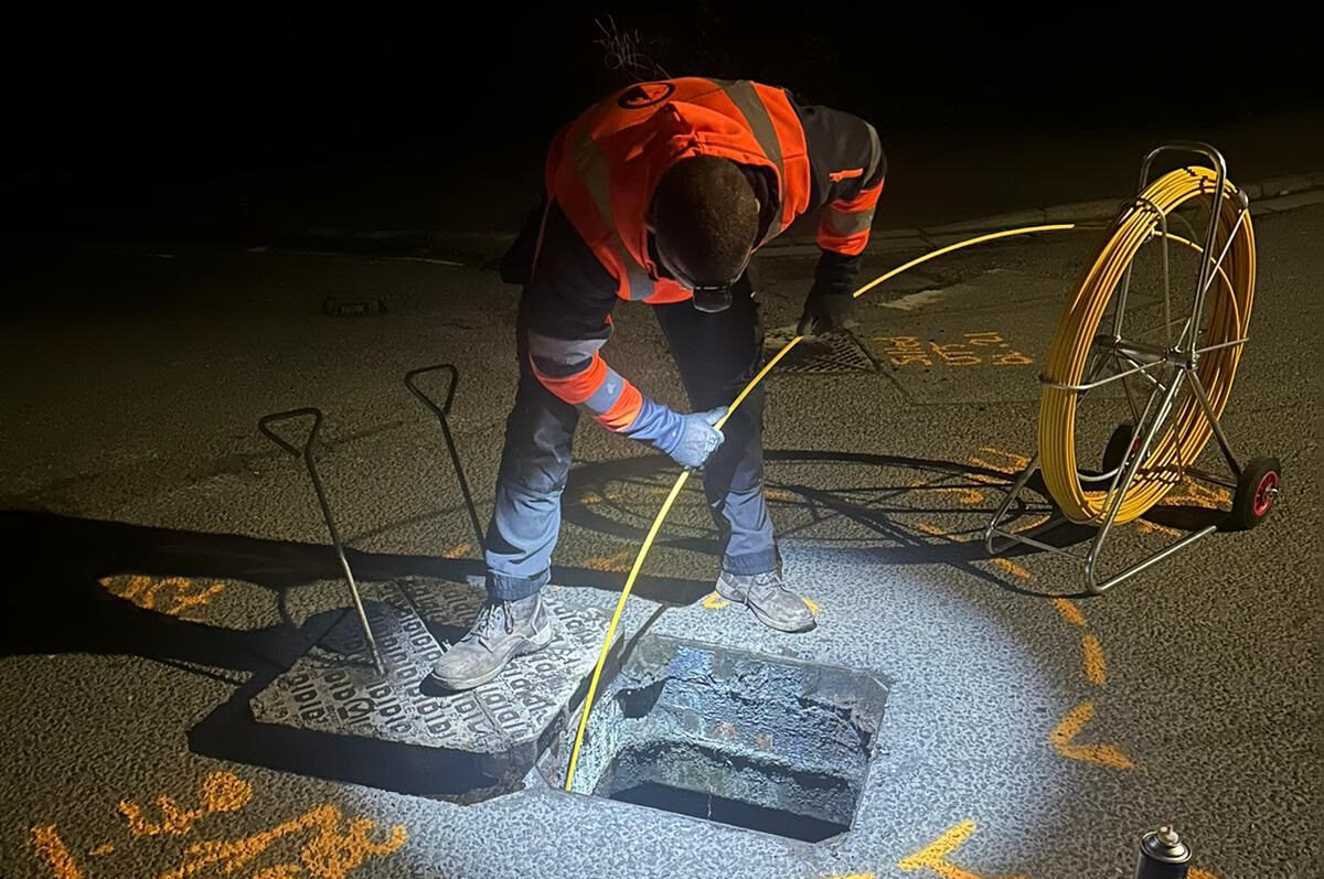
What Does a Utility Map Show?
A finished utility map is more than a scatter of coloured lines. What are you actually looking at, once it lands in your inbox?
Routes and positions. Utility maps show the horizontal routing of buried services, gas mains, electrical cables, water pipes, telecoms, drainage runs, plotted to an accurate plan. Routes are typically overlaid on a topographic base, often drawn from our own georeferenced topographical land surveys, so the buried network sits correctly against what’s happening above ground.
Depth information. Where geophysical detection (Type B or QL-B) is carried out, depth estimates are included for each utility, which is critical for clash detection. Where vacuum excavation (Type A or QL-A) is used, depth is physically confirmed at critical points rather than estimated. Estimated and verified depth aren’t the same thing; on high risk excavation, that difference is exactly why Type A confirmation earns its keep at the points that count most. We’d always rather tell a client “verify this one” than have them find out the hard way.
Utility type and material. Experienced operators can often infer type and material from the detection data, metallic versus non-metallic, pipe versus cable, recorded wherever it can be reliably attributed to inform proximity and protection decisions.
Confidence levels. Maps produced to PAS 128 show the confidence level assigned to each utility, from QL-D (desktop records only) through to QL-A (physically verified), telling your team how much weight to put on a data point and where further verification might be worth commissioning.
Deliverable Formats: How Utility Mapping Data Is Supplied
A utility map that can’t be dropped into your design software is of limited use, however accurate it is (and it is genuinely frustrating to receive a beautifully surveyed map you then can’t actually use). That’s why we agree the output format upfront, so the data works for your team from day one:
CAD files. Plans in DWG/DXF format, layered and coded to industry standards, ready for AutoCAD or Civil 3D.
PDF utility plans. Clear, annotated drawings for on site use and distribution to design teams.
GIS compatible datasets. Georeferenced data for GIS platforms and asset management systems.
BIM ready outputs. 3D utility data for Revit or other BIM platforms, drawing on our wider BIM modelling capability where projects need it.
When Do You Need a Utility Mapping Survey?
Genuine question: at what point in a project does this actually need to happen? In our experience, it’s earlier than most people assume.
Pre construction and design stage. The most common trigger, and the cheapest point to catch a problem. Mapping before design work begins lets engineers and architects plan around buried services, avoiding clashes between proposed works and existing infrastructure. Catch the conflict on the drawing board and it’s an afternoon’s redesign; catch it on site and it’s a very different conversation.
Brownfield and redevelopment sites. Brownfield land carries legacy infrastructure that may not appear in any record: decommissioned pipes, abandoned services, drainage runs nobody remembers installing. Mapping here reduces the risk of hitting an unexpected buried asset once groundworks start.
Highways and infrastructure works. Road widening, utility diversions and infrastructure upgrades all demand accurate knowledge of what’s running beneath the carriageway, supporting CDM compliance in live highway environments where there’s rarely room for guesswork.
Prior to piling or deep excavation. High risk ground disturbance, piling, deep trenching, tunnelling, demands the highest confidence in utility location available. Mapping to QL-B or QL-A provides the verified data needed before the works get the green light.
Sectors That Use Utility Mapping
We deliver utility mapping across a genuinely broad spread of sectors: construction and civil engineering for safe groundworks, infrastructure and highways for diversions and upgrades, real estate and development ahead of site acquisition, utilities and telecoms protecting their own networks, local authorities for asset management, and geo-environmental or remediation projects needing to know what’s buried before treatment begins. It’s a wider list than people expect, honestly.
How Castle Surveys Delivers Utility Mapping
Initial enquiry. Contact us by phone, email or online form to outline your requirements.
Site survey. We’ll arrange a visit to assess the site and confirm the right scanning approach for your needs.
Survey execution. Our technicians carry out the survey using GPR and detection equipment, working to PAS 128 standards throughout.
Report delivery. You’ll receive a detailed report complete with drawings, coordinates and practical recommendations.
Every stage, from the initial site walk to the final CAD handover, is carried out in-house by our own surveyors. We don’t subcontract this work out, so the person scanning your site is the person accountable for the data you receive.
Ready to Secure Your Site? Get a Utility Mapping Quote Today
Not sure yet whether your site needs QL-B or QL-A, or just want a second opinion before groundworks start? That’s exactly the conversation worth having now, not once the diggers are already on site. Request a rapid utility mapping quote and we’ll talk through the right level of survey for your site, no more and no less than the project actually needs.