
Using Mobile Mapping for Utility Corridor Mapping
February 20, 2026 8:11 amHave you ever attempted to design or maintain a utility corridor and reasoned that there must be a quicker, more secure way to gather all this information? You’re not by yourself. Accurately mapping utility corridors – long, linear routes that transport the essential components of contemporary infrastructure, such as cables, pipelines, drainage, and fibre networks – is infamously difficult. They extend for miles, occasionally spanning farms, roads, rivers, and urban areas. Conventional surveying techniques can be excruciatingly slow and inconvenient. This is where mobile mapping comes in, subtly changing the way surveyors, engineers, and asset managers work on corridor projects.
We at Castle Surveys have personally witnessed how mobile mapping has revolutionised the gathering and application of utility data. Large volumes of precise, georeferenced data can be safely collected from the roadside by combining high-speed LiDAR scanning, precise GNSS positioning, and sophisticated imaging.The result is a complete 3D model of your corridor – ready to plug straight into GIS, CAD, or BIM systems. It’s fast, cost-efficient, and it keeps people out of harm’s way. But let’s unpack what makes this technology such a powerful tool for Utility Mapping, and why more infrastructure providers are switching to it.
What Exactly Is Utility Corridor Mapping?
Although it may sound like something from a design manual, a utility corridor is simply the designated path that contains the essential networks that keep our cities and industries functioning. Consider the pipelines transporting gas across counties, the telecom ducts connecting a new housing development or the power cables supplying a factory estate. Careful planning, accurate mapping, and ongoing monitoring are all necessary for these.
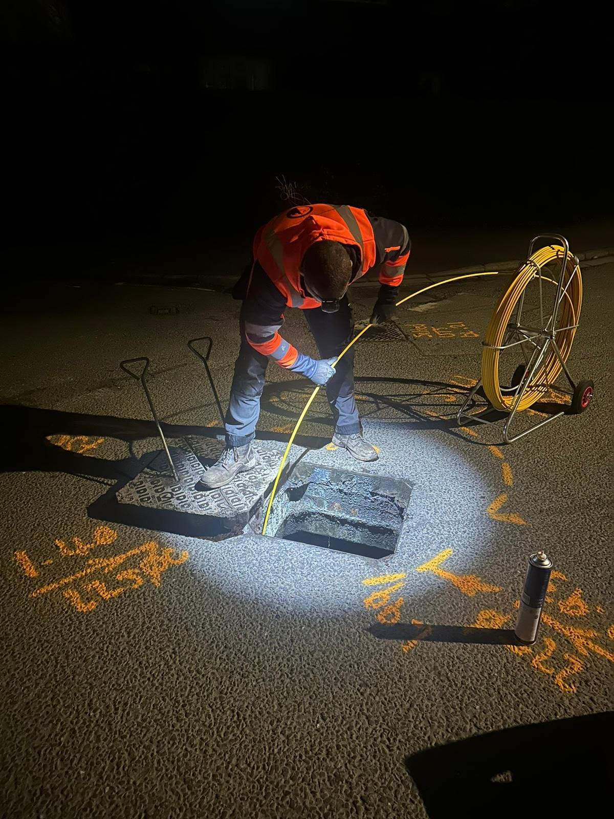
Now consider attempting to manually chart those routes for tens or even hundreds of kilometres using GPS or conventional total stations. Although it takes a lot of time and is frequently impractical, it is feasible. Typically, utility corridors go through rural areas, rail corridors, and busy roads. It is possible to limit access. The circumstances are unpredictable. Additionally, whenever surveyors must work close to active utility assets or live traffic, there is an increased risk to their safety.
Utility corridor mapping is crucial because of this. Tracing lines on a map is only one aspect of it. It involves building a thorough geospatial record that makes it easier for everyone to know exactly what is where, from planners and maintenance teams to engineers and designers. When done correctly, it avoids expensive surprises like unplanned conflicts or redundant excavations and serves as the basis for effective, secure, and intelligent infrastructure projects.
How Mobile Mapping Works for Linear Infrastructure
When people hear the term “mobile mapping,” they frequently visualise a survey van that is equipped with sensors and scans everything in its path. This is fairly accurate. In essence, a mobile mapping system is a mobile survey studio. LiDAR scanners, panoramic cameras, GNSS receivers, and inertial measurement units (IMUs) are some of the measurement technologies it uses to collect accurate, three-dimensional data while the car moves.
The idea is straightforward but effective: the mobile mapping system continuously gathers data at typical driving speeds rather than placing instruments along a road or corridor at regular intervals. Each tree, boundary wall, lamppost, manhole cover, and kerb is scanned in extremely high detail, frequently with millions of points per second. In order to create a rich visual reference, cameras capture geotagged images that complement the point cloud. Surveyors and engineers can then extract models, measurements, and features from the convenience of their offices.
I often find clients are surprised at just how much information these systems can gather in a single pass. For a utility project, for instance, mobile mapping doesn’t just record the positions of access chambers or power poles. It captures the full corridor environment – verges, ditches, crossings, retaining walls – giving a complete spatial picture of the setting your utilities run through. That sort of holistic data makes design, clash analysis, and maintenance planning much easier.
Capturing Corridor Data at Speed
The length of the routes involved in traditional utility corridor work is one of the main sources of frustration. Obtaining a comprehensive, consistent dataset over tens of kilometres can be a logistical nightmare, whether you’re renovating an ageing drainage network or building a new transmission line. That obstacle is successfully removed by mobile mapping.
Imagine this: a survey-grade car with cameras and LiDAR travels through your hallway at regular traffic speeds, gathering dense 3D data along the way. Depending on the circumstances, you could travel 100 kilometres or more in a single day. That is a huge increase in output. You’re looking at days rather than months of fragmented fieldwork.
Additionally, the data is consistent in addition to being quick to collect. Because every scan is accurately georeferenced, every centimetre of your hallway is perfectly connected. For linear infrastructure, where connections between segments must line up perfectly, this degree of continuity is crucial.
For instance, our mobile mapping system recorded every roadside feature along a 40-kilometer corridor in less than two days when we worked on a regional water main survey here in the Midlands. It meant that much earlier in the project, the client’s design team could begin evaluating possible service crossings, manhole locations, and vehicle access points. Construction efficiency was directly impacted by the time saved up front.
Safe and Non-Disruptive Data Collection
In conversations about survey innovation, safety is a subject that is never given enough consideration. The stress of fast-moving traffic, erratic drivers, and the difficulty of maintaining focus while cars speed past centimetres away are all familiar to anyone who has spent time on the roadside with a total station. That dynamic is completely altered by mobile mapping.
Surveyors no longer have to enter active sites or stand in traffic because the entire system runs from the security of a car. Data is gathered remotely from a secure, regulated setting. Lane closures, traffic management configurations, and follow-up site visits to remeasure areas that were missed are not necessary. Everything is captured all at once.
That non-disruptive nature is a huge relief for utility companies and highway authorities. It results in much lower risk exposure, fewer permit applications, and less downtime for the general public. Furthermore, convenience is just as important as safety. Surveys can be carried out during off-peak times, at night, or even in inclement weather that would prevent other types of data collection.
One particularly difficult project, I recall, required us to map an electrical corridor that ran alongside a dual carriageway. Weeks of disruption and rolling lane closures would have been necessary for a traditional ground survey. Instead, our crew worked effectively while maintaining traffic flow to finish the route in a single weekend. The beauty of the mobile approach is that there is no fuss, no delays, and no needless risk.
Benefits of Mobile Mapping in Utility Corridor Projects
What practical implications does this have for professionals working in utilities and infrastructure? Let’s examine the concrete benefits we’ve observed in hundreds of projects.
Efficiency and Coverage
Everyone’s top priority is speed. When compared to traditional topographical surveys, mobile mapping significantly cuts fieldwork time – often by 70% or more. Power lines, pipelines, and fibre networks are examples of large-scale linear assets that can be fully captured in a fraction of the time previously needed.
Beyond speed, the spatial continuity is revolutionary. You are working from a single, cohesive dataset that spans from beginning to end rather than piecing together disparate survey points or segments. For engineering designs based on precise chainage references, this continuity guarantees that every bend, elevation change, and structural alignment is seamless.
For instance, consistency enables engineers to confirm vertical and horizontal clearances with complete confidence when mapping utility corridors close to new transportation infrastructure. The dataset turns into a common reference model that contractors and designers alike can depend on without hesitation.
Accuracy and Data Richness
Without accuracy, speed is meaningless, and this is where contemporary mobile mapping truly excels. Point clouds frequently reach centimeter-level accuracy when survey-grade GNSS and IMU technology are used in conjunction with exact calibration. This accuracy guarantees that all visible assets fall within control tolerances appropriate for engineering design when mapping for Utility Corridor projects.
What’s truly remarkable, though, is the level of detail captured. Every object scanned is part of a dense, measurable 3D environment. You can pull out kerbs, signs, service covers, cables on poles, handrails, barriers – even subtle ground gradients or verges. That wealth of information means you can make better decisions earlier in the design process, reducing the need for extra site visits.
Assume you are designing a new pipeline segment. Traditional topographical data may require multiple revisits in order to confirm clearances or capture new features. Almost everything that is visible is already recorded when using mobile mapping. Without leaving the office, designers can evaluate site constraints or measure offsets directly in the dataset. This lowers expenses and speeds up decision-making.
Indeed, I have heard the doubt before: “But can you really trust LiDAR data along complex, uneven roads?” With current processing and calibration, the answer is definitely yes. The accuracy is outstanding and reliable when combined with ground truthing or surveyed control points.
Smooth Integration with GIS and BIM Systems
When the scanning stops, the story doesn’t end. The ease with which mobile mapping’s outputs can be integrated into downstream workflows is one of its greatest benefits. It is possible to export the extracted vector features, imagery, and processed point cloud in formats that can be used directly in GIS or BIM environments.
There is more to this integration than just practicality. Utility managers can use it to perform clash detection, simulate new installations before construction begins, and overlay current service data with asset models. Engineers can evaluate spatial relationships, see corridors in full 3D, and instantly share updates with other departments.
The advantages for asset management are long-term. Mobile mapping offers a solid baseline for comparison in the future because it captures so much context, including vegetation, boundaries, and road markings. In order to maintain consistency and accuracy between survey cycles, surveyors can return to the same corridor after maintenance work is completed and update only what has changed.
An excellent illustration is a project we helped a local government oversee a significant drainage system. They combined our mobile mapping dataset with their pre-existing GIS layers that displayed flood boundaries, manholes, and pipelines. By visualising surface gradients and water flow behaviour throughout the entire corridor, the resulting model assisted in prioritising maintenance zones. These insights were previously unattainable without thorough ground verification.
Why Utility Companies Are Turning to Mobile Mapping
Energy companies and utility providers are under increasing pressure to maintain and modernise ageing networks while controlling expenses and lowering risk. Mobile mapping fulfils many requirements in that regard.
Project teams can begin planning or obtaining permits sooner thanks to its quick results. By keeping workers off the road and in controlled environments, it raises safety standards. It offers comprehensive, long-lasting 3D datasets that support a variety of fields, including engineering, maintenance, and environmental management.
The most underappreciated strength of the data, in our experience working with utility contractors, is probably its reusability. Once a corridor has been mapped using mobile LiDAR, it can be used as a basis for numerous subsequent projects, such as vegetation management, road widening plans, maintenance evaluations, and new duct alignments. Long after the initial survey is finished, the same dataset continues to be useful.
It’s not limited to conventional utilities either. The effectiveness and environmental friendliness of mobile mapping also greatly benefit renewable energy networks, from solar interconnectors to wind farm cabling routes. Sustainability objectives are perfectly aligned when an entire site can be acquired without causing any intrusive ground disturbance.
The Castle Surveys Approach
To guarantee the accuracy and usability of the data we provide, Castle Surveys has made investments in the newest mobile mapping technologies. Our method combines real-world field experience with precision technology. To guarantee that the output retains engineering-grade accuracy, our team carefully processes data and calibrates each capture against survey control.
We also don’t just give out raw point clouds. Whether it’s topographical plans for a design consultant, vector features for GIS integration, or a fully coloured 3D environment appropriate for immersive BIM coordination, every deliverable is customised to meet the needs of the client. We collaborate closely with utility clients to determine the final destination and intended use of the data.
Showing clients how thorough the results are is one of the most satisfying parts of using mobile mapping. “We didn’t realise you captured all of that as well!” is a common comment made by engineers. The system captures information that might otherwise go unnoticed, from cable supports to signage. That completeness provides comfort for people working on multi-utility projects or intricate hallways.
When Utility Corridor Projects Should Use Mobile Mapping
Mobile mapping isn’t always necessary, but it’s nearly always the best option for lengthy or intricate hallways. If the following are involved in your project:
- Large-scale linear routes like highways, water mains, or energy corridors
- settings where access and safety are difficult
- projects needing precise above-ground data to coordinate with subterranean utilities
- and circumstances requiring constant accuracy over long distances
Then, compared to other surveying techniques, mobile mapping will probably produce faster and more valuable results.
Mobile mapping frequently enhances rather than replaces other survey types in smaller or more difficult-to-reach areas. To create a comprehensive, multi-source dataset, data can be combined with drone surveys or ground-based laser scans. Its adaptability is one of its key advantages.
Bringing It All Together
It’s safe to say that Utility Corridor Mapping has changed as a result of mobile mapping. It is now possible to accomplish what previously required weeks of road closures, ground surveying, and many hours of piecing together data in a safe, effective, and high-quality manner.
It makes a human difference in addition to a technological one. Project managers receive the information they require more quickly. Surveyors spend less time in hazardous situations. Richer information helps engineers make better decisions. Additionally, utility companies acquire a dependable, reusable digital foundation for their assets.
Innovation in surveying should, in our opinion at Castle Surveys, make people’s jobs easier rather than more difficult. That ideal is perfectly embodied by mobile mapping. It replaces corridor surveys with clarity, speed, and confidence in place of repetition, risk, and delay.
If you’re planning a new utility corridor or maintaining an existing one, now’s the time to see what’s possible. Contact Castle Surveys to find out how our mobile mapping services can streamline your next project and provide the accurate, high-quality data your team can rely on for years to come.
This post was written by Paul Jackson
Comments are closed here.