The Importance of Ground Control Points in LiDAR Accuracy
September 7, 2025 1:11 pmEver wonder what really makes laser survey data truly accurate, rather than just “good enough”? Here’s the not-so-secret ingredient: ground control points, or GCPs for short. Now, while LiDAR is often celebrated for its high-tech, futuristic vibe (and don’t get me wrong, watching a drone zip about shooting lasers is seriously impressive), none of that matters if your data doesn’t actually line up with reality on the ground. That’s where GCPs swoop in and save the day.
What Are Ground Control Points?
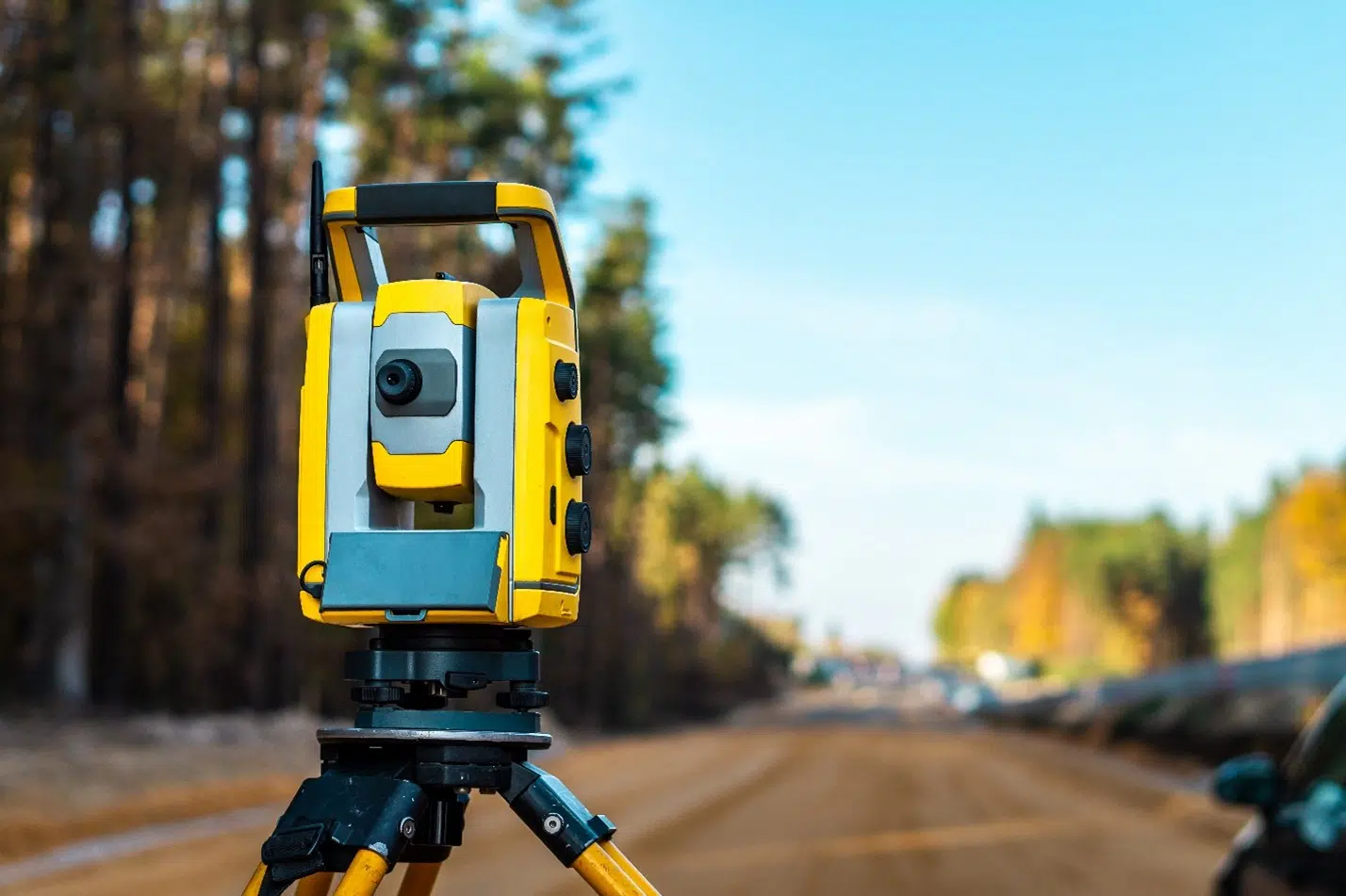
Let’s break it down. Ground control points are basically special spots marked and precisely measured at ground level. Think of them as the anchors for your whole survey. When I’m out in the field, I’ll use high-spec GNSS equipment to log these points with pinpoint accuracy—there’s nothing quite as satisfying as getting that perfectly sharp fix.
GCPs can sometimes be as simple as a painted cross on the tarmac, or maybe a marked-up fence post in a field. The important thing is, every LiDAR point in your dataset looks back to these reference locations, so your final map isn’t just a pretty picture, it’s a true-to-life representation—something you can genuinely build or design from with confidence.
On some jobs, you might use manual points, and on tech-heavy sites, GNSS does a lot of the heavy lifting. Either way, the process isn’t complete until those control points are locked in and quality checked. I’ve found a quick pause to double-check this step can save all sorts of headaches later on.

Why GCPs Are Crucial for LiDAR Survey Accuracy
Here’s where things get interesting. LiDAR is brilliant at giving you a canvas of a site, but the details—the real life-or-death, or at least “budget-or-bust,” details—depend on those GCPs.
Geo-referencing means tying every single data point back to where it sits on Earth. If you miss that, suddenly your entire survey could drift, like a ship that’s lost its anchor. The aim is absolute accuracy, not just relative within your drone’s memory but true in relation to actual site coordinates. Without GCPs you may find your plans are a metre, or more, off from where they should be. Trust me, that’s not the kind of surprise anyone wants mid-build.
I remember one infrastructure job where, without decent ground control, the whole as-built model was floating out by just enough to throw off the entire drainage plan. Fixing that afterwards was both expensive and absolutely avoidable.
LiDAR Survey Applications That Rely on High Accuracy
Where does accuracy really matter? Pretty much everywhere castles, roads, or pipes are concerned.
Planning a new transport link? You need to know every curve, dip, and rise to the tiniest degree. Calculating cut and fill? Even a slight error can cost thousands, or send the wrong amount of machinery to site. BIM? Everything from clash detection to as-built reports relies on data you can trust. And for mapping utilities or drainage, GCPs mean pipes and cables go exactly where you planned, not where you wish they’d been.

Common Issues When GCPs Are Ignored or Poorly Placed
Now, here’s where things go south. Skip GCPs, or, worse, slap them down in a rush, and you’re playing with fire. The final model ends up misaligned with what’s actually out there. I’ve seen teams arrive on site, ready to break ground, only to find surveyed features don’t match up with the real world. Cue repeat visits, delays, and awkward conversations about budgets and safety. People lose faith in the data—and in the team delivering it.
How Castle Surveys Ensures Precision with GCPs
At Castle Surveys, we never leave LiDAR survey accuracy to chance. Every project, whether it’s aerial, terrestrial, or a hybrid, gets put through its paces with a robust GCP plan. We rely on the latest RTK and PPK GNSS kit to hone in on every control point, checking and double-checking them until we’re sure your results are bang on.
It’s not just tech, though. Our process blends hands-on fieldwork, quality assurance, and a hefty dose of common sense. We tie it all together—so whether you need Drone Surveys, Topographic Land Surveys, Measured Building Surveys, or Utility Mapping Surveys, the foundation remains rock solid.
So, How Accurate Do You Need to Be?
Truth? If you’re making decisions that matter—planning infrastructure, laying out buildings, calculating earthworks—LiDAR accuracy is non-negotiable. GCPs are what lift a “pretty good” survey into “engineering-grade” territory.
Looking for LiDAR that’s right, not just almost right? You’ll want a team that takes GCPs as seriously as we do. Get in touch with Castle Surveys and see how proper ground control can give your project the accuracy, confidence, and reliability you need—every single time.
This post was written by Paul Jackson
Comments are closed here.