
LiDAR vs. Photogrammetry: Which Remote Sensing Technique?
June 26, 2025 3:13 pmSurveying has evolved far beyond traditional methods. Today, digital technologies such as LiDAR and photogrammetry allow surveyors to capture and analyse landscapes in incredible detail. Both provide accurate three-dimensional data, but they work in very different ways. Knowing when to use one over the other can make a big difference to your project.
So when it comes to LiDAR vs photogrammetry, which option is right for you?
LiDAR Demystified: The Laser-Powered Workhorse
What is LiDAR?
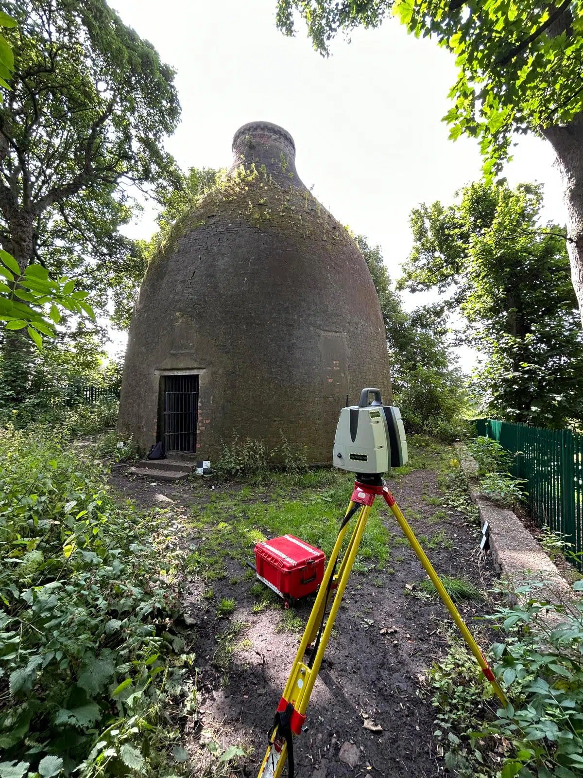
LiDAR, which stands for Light Detection and Ranging, works by firing rapid laser pulses at the ground and measuring how long each one takes to return. These readings are used to calculate distance, producing millions of data points that form a detailed 3D model of the surface.
Because LiDAR uses laser light rather than imagery, it can collect data day or night, and even through vegetation. This makes remote sensing LiDAR ideal for forestry, flood modelling, infrastructure, and large-scale terrain mapping. It captures fine details quickly and provides reliable data across almost any environment.
The result is a point cloud, a digital collection of coordinates that maps every contour and feature of the area with extreme accuracy.

How Photogrammetry Works
Photogrammetry takes a different approach. Instead of lasers, it uses overlapping photographs taken from drones or aircraft. Software analyses these images, matching features and calculating their position in space to create a 3D model or orthophoto map.
The biggest strength of photogrammetry is its visual realism. Because it records true colour and texture, it produces models that are not only accurate but also highly detailed and visually clear. This makes it popular in architecture, archaeology, and visual planning, where realistic imagery helps communicate designs and ideas.
However, photogrammetry relies on good lighting and clear weather to achieve the best results, whereas LiDAR can continue to collect accurate data in poor visibility or at night.
LiDAR vs Photogrammetry: How They Compare
Technical Face-Off
| Parameter | LiDAR | Photogrammetry |
|---|---|---|
| Accuracy | ±2 cm vertical, ±5 cm horizontal | ±5 cm vertical, ±10 cm horizontal |
| Data Density | 50-500 points/m² | 10-100 points/m² (dependent on resolution) |
| Vegetation Penetration | Yes (partial) | No |
| Cost per Hectare | £300-£600 (airborne) | £50-£150 (drone-based) |
| Outputs | Point clouds, DEMs | 3D meshes, orthomosaics, DSMs |
| Best For | Flood modelling, forestry, mining | Urban planning, archaeology, film/TV |
If you are comparing aerial photogrammetry vs LiDAR, both methods are excellent at producing accurate 3D data, but each has its strengths. LiDAR provides extremely precise elevation and structural data, while photogrammetry focuses on surface appearance and realism.
LiDAR excels in complex or vegetated environments, whereas photogrammetry is often the better choice for visualisation or cost-effective mapping. In simple terms, LiDAR gives you structure and accuracy, while photogrammetry gives you colour and context.
Many projects benefit from using both.
When LiDAR Shines
LiDAR is particularly valuable when accuracy and reliability are crucial. It is used to:
• Map forests and vegetation canopies
• Model flood plains and drainage systems
• Survey transport networks and large infrastructure sites
• Capture topographic data in low-light or poor weather conditions
Because LiDAR collects millions of measurements per second, it is both fast and extremely precise.
When Photogrammetry Is Better
Photogrammetry works best for projects where appearance and presentation matter as much as measurements. It is ideal for:
• Construction site reporting and drone progress photography
• Design visualisation and planning applications
• Projects that require colour and texture detail
Architects, developers, and planners often use photogrammetry to visualise their projects in realistic detail, making communication and collaboration much easier.
Combining Both Methods
Rather than choosing one technique, combining LiDAR and photogrammetry often produces the best results. LiDAR delivers geometric precision, while photogrammetry adds colour and texture, resulting in a digital model that is both accurate and visually clear.
This hybrid approach is now widely used across construction, environmental management, and asset inspection. When integrated properly, remote sensing LiDAR and photogrammetry together create a complete digital record that supports both analysis and visual communication.
Making the Right Choice
There is no single answer to the question of LiDAR vs photogrammetry. The best choice depends on your project goals, site conditions, and budget. LiDAR is ideal when accuracy, density, and terrain detail are essential. Photogrammetry is a great option when visual quality and cost efficiency are the priority.
In many cases, combining the two provides the most complete picture.
Future Trends – What’s Next for Remote Sensing?
Innovations in LiDAR
- Solid-State LiDAR: Cheaper, smaller sensors for drones and autonomous vehicles.
- Quantum LiDAR: Emerging tech for ultra-long-range mapping (e.g., atmospheric studies).
Advances in Photogrammetry
- AI-Driven Processing: Tools like Adobe’s Substance 3D use AI to reduce processing time by 50%.
- Real-Time Photogrammetry: Live 3D mobile lidar mapping for disaster response or event coverage.
The Rise of Sensor Fusion
- AI Integration: Machine learning algorithms auto-select the best data from LiDAR/photogrammetry.
- IoT Integration: Real-time data feeds for smart cities or precision agriculture.
FAQs: Answering Your Questions
Q: Can photogrammetry match LiDAR’s accuracy?
A: In open, well-lit areas with high-resolution cameras, yes. But under canopies or in low light, LiDAR remains superior.
Q: How much does a LiDAR survey cost compared to photogrammetry?
A: Typically 3-5x more, but prices are dropping. Entry-level drone LiDAR systems now cost £20,000-£50,000.
Q: Is training required to operate these systems?
A: Yes. LiDAR requires GNSS/IMU calibration expertise. Photogrammetry needs photography and software skills.
Making the Right Choice for Your Project
LiDAR and photogrammetry aren’t rivals, they’re collaborators. Whether you’re mapping a city, preserving a heritage site, or managing a mine, the key lies in understanding your project’s precision, visual, and budget needs.
LiDAR excels where accuracy and penetration are non-negotiable. Photogrammetry shines when visuals and cost-efficiency matter most. And when combined, they offer a holistic view that’s greater than the sum of its parts.
Ready to Elevate Your Surveying Game?
Contact Castle Surveys today. Let’s explore how our 3D Laser Scanning, Drone Surveys, and hybrid solutions can bring unmatched precision to your project.
This post was written by Paul Jackson
Comments are closed here.