Integrating Mobile Mapping into BIM Workflows
November 11, 2025 12:37 pmWhat Is Mobile Mapping?
You might be wondering, what is mobile mapping and how is it different from the usual surveying methods we know? In simple terms, it’s a way of capturing large amounts of accurate site data while on the move. Instead of setting up a scanner in one spot at a time, mobile mapping lets us record the whole environment as we walk through it or drive past it.
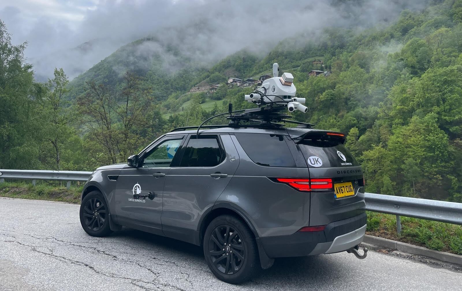
There are a few systems out there, each designed for particular types of projects. Vehicle-mounted scanners are perfect for highways and long infrastructure routes, handheld devices are brilliant for weaving through indoor areas or congested spaces, and trolley-based systems often come into their own on projects like airports, stations, or industrial sites.
The flexibility is what makes mobile mapping so powerful. It allows us to collect accurate, detailed information quickly and feed it directly into BIM workflows without holding projects up.

Why Mobile Mapping Matters in BIM Workflows
If you work in construction or asset management, you’ll know how vital up-to-date site data is. BIM thrives on accuracy, consistency, and timing. Mobile mapping ticks all three boxes.
Speed and Accessibility
One of the biggest frustrations with traditional surveying is the time it takes. Setting up, scanning, moving to the next spot, repeating. It adds up. Mobile mapping turns this on its head. You can capture entire roads, bridges, or buildings in hours rather than days.
This isn’t just about speed though, it’s about keeping things moving on site. Think about surveying a live rail station or a busy motorway. Stopping everything for days could be a nightmare for contractors and the public. Mobile mapping allows us to slip through with minimal disruption, gathering the same high-quality data without bringing work or traffic to a halt.
Accuracy and Coverage
Accuracy is the big question everyone asks. Does mobile mapping really hold its own against traditional scanning? Yes, and in many scenarios, it actually outperforms it.
The technology captures dense point clouds filled with detail, so when you’re modelling a tunnel or a city street, you aren’t left with gaps. It’s all there, recorded in one smooth run. Add imagery into the mix and you have rich, fully navigable datasets that are accurate enough for everything from measured building surveys to large infrastructure BIM models.
Seamless Data Integration
Another common headache is file formats. If you’ve ever been handed survey data that takes days to reformat before you can even use it, you’ll know how frustrating that is. Mobile mapping avoids this. Outputs are ready-made for BIM platforms like Revit, Navisworks, and IFC environments.
This means models can be verified quickly, clashes identified early, and digital twins created without an endless round of conversion or cleaning. If you’re working to tight deadlines, those days saved can make a real difference to the flow of your project.
REQUEST A MOBILE MAPPING QUOTE

How Mobile Mapping Improves Project Outcomes
The benefits aren’t just confined to the survey team. They ripple through the entire project, changing timelines, reducing risk, and helping control costs.
Take timeframes. By shortening survey schedules from weeks to days, designers and contractors get access to reliable data sooner. That’s often the difference between hitting a deadline and slipping behind schedule.
Think about safety as well. On highways or in hazardous environments, surveyors traditionally need to spend significant time in situ. The less time they’re on site, the better. Mobile mapping reduces exposure, while still delivering the precise data BIM teams need.
And then there’s cost. Projects overrun when problems crop up late in the game. Errors can be caught early by comparing design models with highly accurate as-built data from mobile mapping. It’s far easier, and cheaper, to fix a clash on a drawing than deal with it once steel is on site.
Castle Surveys’ Mobile Mapping Capabilities
At Castle Surveys, we’ve invested in mobile mapping because it genuinely changes how projects are delivered. We see it not as a replacement for traditional scanning, but as a complementary tool that opens up more possibilities for clients.
Our approach is always customised. For large road networks or railway corridors, we’ll use vehicle-mounted systems. Where spaces are complex or confined, handheld or trolley units are often more practical. The point is, we match the technology to the need, making sure you get data that’s both accurate and practical to work with.
Data integration is another focus for us. There’s no point capturing information if it then causes a backlog. We provide fully processed outputs that slot neatly into your BIM platforms, whether that’s Revit, Navisworks, or IFC deliverables. You won’t find yourself waiting days to translate formats.
We work across all project phases. From feasibility and early topographic land surveys, right through to as-built checks and post-construction verification, mobile mapping has a role to play. It complements our established specialisms in 3D laser scanning services, measured building surveys, and even areas like geo-environmental studies.
It’s this blend of proven surveying experience and forward-thinking technology that sets our team apart. We don’t just deliver data, we deliver insight.
Wrapping It Up
Mobile mapping is no longer a futuristic idea, it’s here and it’s transforming how survey data connects with BIM workflows. Faster site capture, improved safety, greater accuracy, and outputs that plug seamlessly into your models, all combine to give teams more control and confidence over their projects.
From highways to heritage sites, we’ve seen how mobile mapping can unlock brilliant outcomes that simply weren’t possible with slower, more rigid approaches.
If you’re ready to streamline your digital construction delivery, speak to us at Castle Surveys. Our mobile mapping solutions are tailored to BIM workflows and designed to give you the clarity you need, when you need it.
This post was written by Paul Jackson
Comments are closed here.