How to Carry Out a Bathymetric Survey: A Step-by-Step Guide
September 21, 2025 2:39 pmEver found yourself staring at a wide stretch of water, wondering what’s really lurking beneath? You’re not alone. Bathymetric surveys are the answer to that mystery, opening up a whole world underwater that most never see. I’ve worked alongside engineers and asset managers who’ve been both amazed and (let’s be honest) a bit overwhelmed by how much detail a good survey can reveal. If you’re looking to understand the process from start to finish, you’re in the right place.
What Is a Bathymetric Survey?
Put simply, a bathymetric survey gives you a map of the underwater world. Picture the riverbed as blank as a painter’s canvas—until sonar and smart technology fill in every rise, fall, and hidden feature. You’ll find these surveys used across rivers, reservoirs, lakes, and coastal areas. They’re brilliant for planning dredging, keeping flood models accurate, and helping construction work go smoothly. I’ve found bathymetric data makes a huge difference when you’re planning any project that relies on knowing exactly what’s under the water’s surface.
Planning and Site Assessment
This bit is all about getting your ducks in a row. What do you actually want to know? Sometimes it’s about the depth, sometimes it’s the volume, or maybe it’s tracking how much silt has piled up after a particularly wet season. Defining objectives now means fewer surprises later.
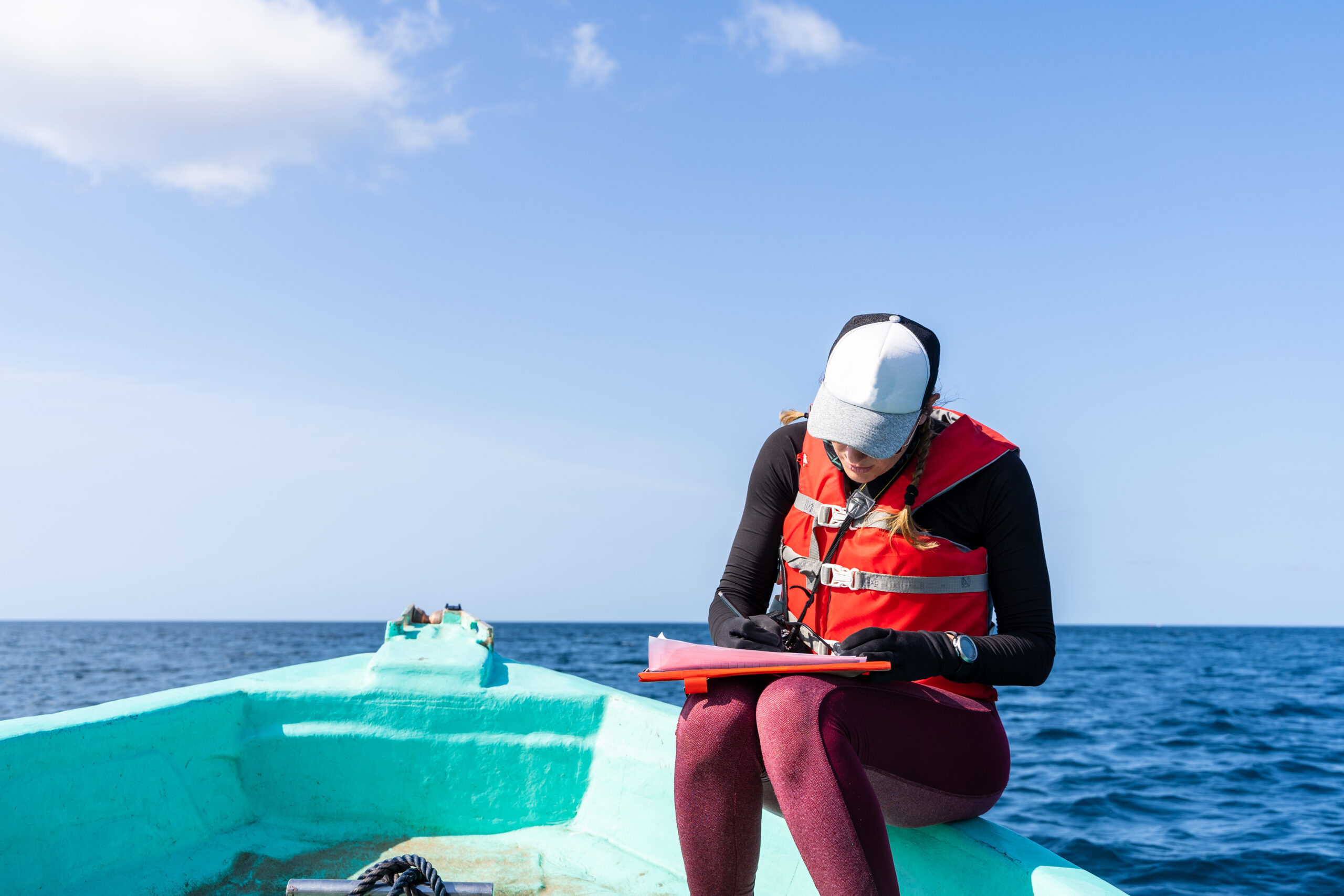
There’s a bit of paperwork too—on bigger sites, you’ll often need permissions from landowners or environmental agencies. And don’t forget about safety. Water can be unpredictable, so check the weather, sort out life jackets, and run through a risk assessment. If you need your bathymetric survey to match up with a topographic or hydrographic survey for a joined-up picture, chat to your team before you get started.

Equipment and Technology Used
Let’s talk kit. Your typical toolkit includes either single-beam or multi-beam sonar. The single-beam setup is great for smaller, straightforward sites, sending one ping at a time straight down. Multi-beam sonar is more ambitious—it sends out a fan of sound and maps a much wider swathe. I’ve found multi-beam comes into its own for bigger lakes or busy stretches of river.
You’ll also need GNSS for pinpoint positioning, on-board computers for logging every last detail, and the right software for running the show. On some projects, a drone or remotely operated vessel might be the only way to reach tricky or dangerous spots. It’s amazing watching one of those head out across water no person would dare cross.
Survey Execution Process
Ready to get started? The crew will usually follow a carefully planned grid pattern to make sure not a single bit of the area is missed. Real-time data capture is key, so you can spot if something’s not quite right—like unexpected interference or a sensor picking up weeds instead of riverbed.
Water clarity, depth swings, and the type of bottom (mud, rock, sand) can all make life interesting. A bit of experience comes in handy here—I’ve lost track of the times I’ve seen a surveyor tweak their kit or plan on the fly to work around a pesky current or unexpected obstacle.
Data Processing and Interpretation
Now for the unsung hero of any bathymetric survey: data cleaning. Raw sonar data can be noisy and, frankly, a bit chaotic. You’ll need to filter out rogue signals (caused by floating debris or bubbles), and then create a digital elevation model that brings the underwater world to life.
You’ll end up with detailed charts, cross-sections, and even clever volume calculations. I’ve always found these outputs hugely helpful for showing exactly where silt is building up, or for proving to stakeholders just how much dredging is really needed.
Deliverables and What Clients Receive
Once everything’s processed, the magic lands in your inbox. Clients usually get a clear survey drawing, a digital report, and the all-important raw data files. Formats like AutoCAD, PDF, or GIS are all common, so you can slot survey results straight into your planning process or hand them over to consultants.
The brilliance of a quality bathymetric survey is it gives you the confidence to make big decisions—whether you’re planning a new bridge, reviewing a reservoir, or lining up environmental improvements.
Common Challenges and How to Mitigate Them
Every project throws up a few curveballs. Turbid water or fast currents can disrupt sonar readings, while submerged branches or rubbish can play havoc with sensors. Tight spots or bridges can sometimes mean the GPS struggles.
You’ll need a surveyor who’s got the experience, the right contacts, and a bit of creative problem-solving to keep things on track. Sometimes it’s as simple as waiting for better weather, tweaking the equipment, or combining data from more than one survey pass.

Why Work with a Specialist Surveyor
Accuracy is everything. You want data that you can rely on and results that meet industry standards—especially when millions of pounds or public safety are on the line. Specialist surveyors know their way around compliance, can work safely no matter how tough the environment, and, crucially, will explain the findings so you actually understand what you’re looking at.
Working with the right team also gives you practical advice that connects the dots between engineering, environmental, and operational goals.
Bathymetric surveys are the backbone of aquatic management, engineering, and planning. If you want peace of mind, sharper insights, and work that stands up to scrutiny, it pays to get it done properly.
Need accurate underwater data for your next project? Contact Castle Surveys Ltd—we’ll bring specialist expertise and a human touch to every survey.
If you’re curious about how this fits into wider project planning or want to see how our Drone Surveys or Geo-Environmental survey services can work alongside a bathymetric survey, let’s have a chat. Whatever your site throws at you, we’ve got the skills and kit to help you see below the surface.
This post was written by Paul Jackson

Comments are closed here.